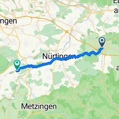
Kirchheim - Meistern, Sommenhardt
- 96.3 km
- 1,422 m
- 1,020 m
- Kirchheim unter Teck, Baden-Wurttemberg, Germany
A cycling route starting in Kirchheim unter Teck, Baden-Wurttemberg, Germany.
Overview
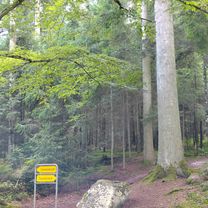
From Kierchheim unter Tack (KT) to Filderstadt (FL), via Burg Neuffen.
created this 15 years ago
Continue with Bikemap
You would like to ride Von S-Bahn KT nach S-Bahn FL or customize it for your own trip? Here is what you can do with this Bikemap route:
Free trial for 3 days, or one-time payment. More about Bikemap Premium.
Discover more Premium features.
Get Bikemap PremiumFrom our community
Open it in the app