

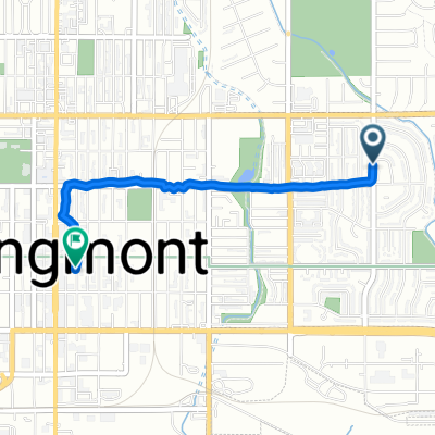
Brewery Tour
A cycling route starting in Longmont, Colorado, United States.
Overview
About this route
This is the proposed route. It may change,
- -:--
- Duration
- 46.2 km
- Distance
- 128 m
- Ascent
- 130 m
- Descent
- ---
- Avg. speed
- ---
- Max. altitude

Route quality
Waytypes & surfaces along the route
Waytypes
Cycleway
21.7 km
(47 %)
Quiet road
8.3 km
(18 %)
Surfaces
Paved
18 km
(39 %)
Unpaved
16.2 km
(35 %)
Loose gravel
16.2 km
(35 %)
Asphalt
8.3 km
(18 %)
Route highlights
Points of interest along the route
Point of interest after 7.5 km
Powder Keg
Point of interest after 16.7 km
Avery
Point of interest after 17 km
Asher
Point of interest after 18.9 km
Finkle and Garf
Point of interest after 26.3 km
Bootstrap
Point of interest after 36.8 km
Shoes and Brews
Point of interest after 37.7 km
Grossen Bart
Point of interest after 38.7 km
300 Suns
Point of interest after 39.5 km
Wibby
Point of interest after 40.7 km
Long's Peak Pub
Point of interest after 45.5 km
Skeye
Point of interest after 46.2 km
Wyatt's Start
Continue with Bikemap
Use, edit, or download this cycling route
You would like to ride Brewery Tour or customize it for your own trip? Here is what you can do with this Bikemap route:
Free features
- Save this route as favorite or in collections
- Copy & plan your own version of this route
- Sync your route with Garmin or Wahoo
Premium features
Free trial for 3 days, or one-time payment. More about Bikemap Premium.
- Navigate this route on iOS & Android
- Export a GPX / KML file of this route
- Create your custom printout (try it for free)
- Download this route for offline navigation
Discover more Premium features.
Get Bikemap PremiumFrom our community
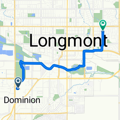
Other popular routes starting in Longmont
 Brewery Tour
- Distance
- 46.2 km
- Ascent
- 128 m
- Descent
- 130 m
- Location
- Longmont, Colorado, United States
 Longmont-Niwot
- Distance
- 15.4 km
- Ascent
- 68 m
- Descent
- 42 m
- Location
- Longmont, Colorado, United States
 40.189, -105.178 to 40.159, -105.116
- Distance
- 12.6 km
- Ascent
- 1,595 m
- Descent
- 1,634 m
- Location
- Longmont, Colorado, United States
 June 11th Route
- Distance
- 36.6 km
- Ascent
- 141 m
- Descent
- 139 m
- Location
- Longmont, Colorado, United States
 350 Kimbark St, Longmont to 1777 Broadway St, Boulder
- Distance
- 29.7 km
- Ascent
- 225 m
- Descent
- 110 m
- Location
- Longmont, Colorado, United States
 Elliott St, Longmont to Fourth Ave, Longmont
- Distance
- 2.7 km
- Ascent
- 27 m
- Descent
- 30 m
- Location
- Longmont, Colorado, United States
 Sandstone/City Loop 1
- Distance
- 25 km
- Ascent
- 98 m
- Descent
- 98 m
- Location
- Longmont, Colorado, United States
 S Hover St, Longmont to Elliott St, Longmont
- Distance
- 7.6 km
- Ascent
- 23 m
- Descent
- 29 m
- Location
- Longmont, Colorado, United States
Open it in the app