

Ambra - Monte Luca - Cennina
A cycling route starting in Ambra, Tuscany, Italy.
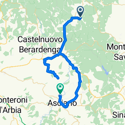
Overview
About this route
Landschaftlich schöner Aufstieg bis nach Nussena. Die ca. 5km Aufstieg nach Nussena bzw. noch weiter bis zum Abzweig auf den Trail sind recht knackig mit 12-13% Steigung.
Die Abfahrt verläuft nach einem kurzen feinen Trail vorwiegend auf Schotterpisten mit immer wiederkehrenden Gegenanstiegen. Die Abfahrt ist daher ziemlich anspruchslos und auf Grund des Profils eher was für X-Country. Viel Spaß
- -:--
- Duration
- 30.4 km
- Distance
- 606 m
- Ascent
- 613 m
- Descent
- ---
- Avg. speed
- ---
- Max. altitude
Route quality
Waytypes & surfaces along the route
Waytypes
Track
13.4 km
(44 %)
Road
12.9 km
(42 %)
Surfaces
Paved
14.6 km
(48 %)
Unpaved
15.4 km
(51 %)
Paved (undefined)
8.3 km
(27 %)
Asphalt
6.4 km
(21 %)
Continue with Bikemap
Use, edit, or download this cycling route
You would like to ride Ambra - Monte Luca - Cennina or customize it for your own trip? Here is what you can do with this Bikemap route:
Free features
- Save this route as favorite or in collections
- Copy & plan your own version of this route
- Sync your route with Garmin or Wahoo
Premium features
Free trial for 3 days, or one-time payment. More about Bikemap Premium.
- Navigate this route on iOS & Android
- Export a GPX / KML file of this route
- Create your custom printout (try it for free)
- Download this route for offline navigation
Discover more Premium features.
Get Bikemap PremiumFrom our community
Other popular routes starting in Ambra
 Badia-Siena-Badia
- Distance
- 95.2 km
- Ascent
- 1,186 m
- Descent
- 1,158 m
- Location
- Ambra, Tuscany, Italy
 Ambra - Poggio all'Olma - Cennina
- Distance
- 21.8 km
- Ascent
- 572 m
- Descent
- 572 m
- Location
- Ambra, Tuscany, Italy
 Cennina 88km/1'020hm
- Distance
- 86.9 km
- Ascent
- 736 m
- Descent
- 740 m
- Location
- Ambra, Tuscany, Italy
 Montebenichi-Gaiole-Montebenichi
- Distance
- 48.5 km
- Ascent
- 1,085 m
- Descent
- 1,102 m
- Location
- Ambra, Tuscany, Italy
 Cennina 90km/890hm
- Distance
- 90.7 km
- Ascent
- 538 m
- Descent
- 539 m
- Location
- Ambra, Tuscany, Italy
 Cennina 42km/1030hm
- Distance
- 42.2 km
- Ascent
- 927 m
- Descent
- 928 m
- Location
- Ambra, Tuscany, Italy
 Badia-Asciano-Badia
- Distance
- 51.8 km
- Ascent
- 748 m
- Descent
- 790 m
- Location
- Ambra, Tuscany, Italy
 Badia a Ruoti-Berardenga-Rosennano-zurück
- Distance
- 36.3 km
- Ascent
- 752 m
- Descent
- 736 m
- Location
- Ambra, Tuscany, Italy
Open it in the app