Na výletě s "arabem"
- 46.8 km
- 283 m
- 282 m
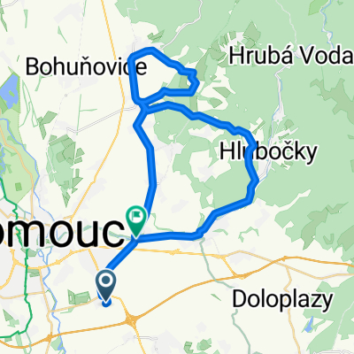
- Velký Týnec, Olomoucký kraj, Czechia
Vsisko-Holice-Bystrovany-Droždín-Sv. Kopeček-Posluchov-Mariánské Údolí-Velká Bystřice-Velký Týnec-Vsisko
Road
18.8 km65 %Track
4.9 km17 %Paved
15.7 km(54 %)Unpaved
2.6 km(9 %)Asphalt
15.4 km53 %Gravel
1.7 km6 %Nádrž Tršice
Free trial for 3 days, or one-time payment. More about Bikemap Premium.
Discover more Premium features.
Get Bikemap PremiumOpen it in the app