

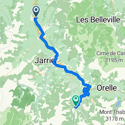
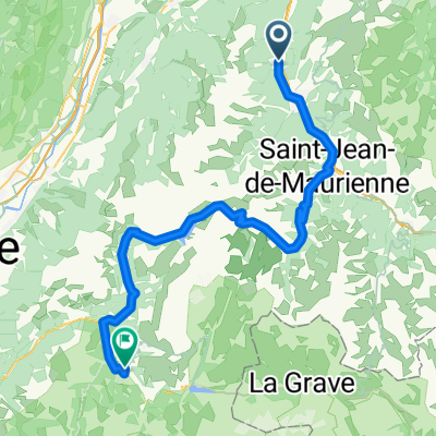
Day 3
A cycling route starting in Saint-Rémy-de-Maurienne, Auvergne-Rhône-Alpes, France.
Overview
About this route
Glandon and Alpe d'HUez via Bourg d'Oisans
- -:--
- Duration
- 85.6 km
- Distance
- 2,605 m
- Ascent
- 2,380 m
- Descent
- ---
- Avg. speed
- ---
- Max. altitude

Route quality
Waytypes & surfaces along the route
Waytypes
Road
3.4 km
(4 %)
Quiet road
2.6 km
(3 %)
Surfaces
Paved
49.7 km
(58 %)
Asphalt
49.7 km
(58 %)
Undefined
36 km
(42 %)
Continue with Bikemap
Use, edit, or download this cycling route
You would like to ride Day 3 or customize it for your own trip? Here is what you can do with this Bikemap route:
Free features
- Save this route as favorite or in collections
- Copy & plan your own version of this route
- Split it into stages to create a multi-day tour
- Sync your route with Garmin or Wahoo
Premium features
Free trial for 3 days, or one-time payment. More about Bikemap Premium.
- Navigate this route on iOS & Android
- Export a GPX / KML file of this route
- Create your custom printout (try it for free)
- Download this route for offline navigation
Discover more Premium features.
Get Bikemap PremiumFrom our community
Other popular routes starting in Saint-Rémy-de-Maurienne
 Saint-Rémy-de-Maurienne - Vârouère
- Distance
- 46.6 km
- Ascent
- 1,630 m
- Descent
- 631 m
- Location
- Saint-Rémy-de-Maurienne, Auvergne-Rhône-Alpes, France
 madelaine
- Distance
- 117.3 km
- Ascent
- 1,770 m
- Descent
- 1,783 m
- Location
- Saint-Rémy-de-Maurienne, Auvergne-Rhône-Alpes, France
 80 Climbs, Day 11
- Distance
- 160.8 km
- Ascent
- 6,152 m
- Descent
- 5,768 m
- Location
- Saint-Rémy-de-Maurienne, Auvergne-Rhône-Alpes, France
 2015 Camping Le Lac Bleu bij Saint Remy de Maurienne naar Le Bourg d Oisans
- Distance
- 85.8 km
- Ascent
- 1,966 m
- Descent
- 1,661 m
- Location
- Saint-Rémy-de-Maurienne, Auvergne-Rhône-Alpes, France
 Montvernier Mollard
- Distance
- 112.1 km
- Ascent
- 2,464 m
- Descent
- 2,454 m
- Location
- Saint-Rémy-de-Maurienne, Auvergne-Rhône-Alpes, France
 Day 3 - The High Alps - St Francois Longchamp to Bourg d'Osians
- Distance
- 107.8 km
- Ascent
- 2,840 m
- Descent
- 3,658 m
- Location
- Saint-Rémy-de-Maurienne, Auvergne-Rhône-Alpes, France
 Day 3a - The High Alps St Francois Longchamp to Bourg d'Osians
- Distance
- 131.6 km
- Ascent
- 3,146 m
- Descent
- 3,981 m
- Location
- Saint-Rémy-de-Maurienne, Auvergne-Rhône-Alpes, France
 Maurienne-st j Arves-Albiez 104km 2790hm
- Distance
- 104.3 km
- Ascent
- 2,374 m
- Descent
- 2,375 m
- Location
- Saint-Rémy-de-Maurienne, Auvergne-Rhône-Alpes, France
Open it in the app