7th Century of 2020 Part I April 27 Nehren to Schlat
- 16.8 km
- 206 m
- 78 m
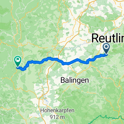
- Nehren, Baden-Wurttemberg, Germany
A cycling route starting in Nehren, Baden-Wurttemberg, Germany.
Overview
Nehren - Herrenberg - Tübingen - Nehren
created this 9 years ago
Route quality
Track
70.3 km
(53 %)
Quiet road
35.8 km
(27 %)
Paved
116.7 km
(88 %)
Unpaved
15.9 km
(12 %)
Asphalt
116.7 km
(88 %)
Gravel
10.6 km
(8 %)
Continue with Bikemap
You would like to ride Samstagsnachmittagstour or customize it for your own trip? Here is what you can do with this Bikemap route:
Free trial for 3 days, or one-time payment. More about Bikemap Premium.
Discover more Premium features.
Get Bikemap PremiumFrom our community
Open it in the app