Entspannte Route
- 41.9 km
- 567 m
- 590 m
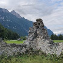
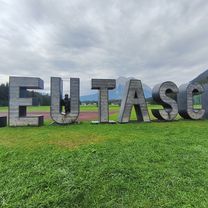
- Leutasch, Tyrol, Austria
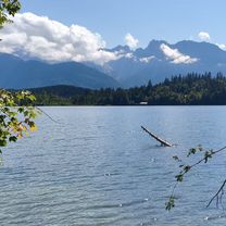
A cycling route starting in Leutasch, Tyrol, Austria.
Overview
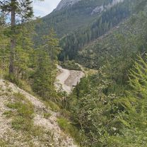
Parkplatz Salzbach - Rotmossalm (bike)
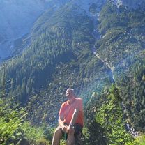
Rotmossalm - Hochwanner - Rotmoosalm (hike)
Rotmossalm - Parkplatz Salzbach (bike)
created this 9 years ago
Continue with Bikemap
You would like to ride Hochwanner (bike + hike) or customize it for your own trip? Here is what you can do with this Bikemap route:
Free trial for 3 days, or one-time payment. More about Bikemap Premium.
Discover more Premium features.
Get Bikemap PremiumFrom our community
Open it in the app