Spinnertour
- 69.3 km
- 639 m
- 639 m
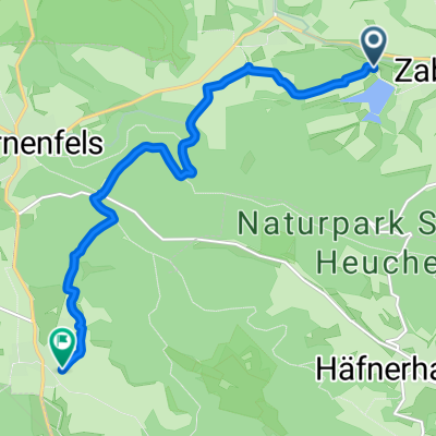
- Zaberfeld, Baden-Wurttemberg, Germany
The best way to start the tour is from Lauffen or Nordheim, so you have the challenging sections in the first half of the tour. From Lauffen, it goes along the cement factory by the Neckar until just before Horkheim. We turn left and cross the Neckar towards Nordheim. From Nordheim, we go over fields towards Heuchelberger Warte. After a tiring climb, we reach the Warte. From there, it goes through the forest and along vineyards to Neipperg. We continue towards Kirschenhöfe, from there through the wildlife enclosure near Pfaffenhofen to Michelbach. Next, we reach Zaberfeld. Past Ehmetsklinge to Leonbronn, continue up the Leonbronner Steige onto Rennweg. We stay on Rennweg until Näser, pass by Tripsdrill towards Bönnigheim. From there, towards Neckarwestheim, passing the nuclear power plant at the entrance to Neckarwestheim turning left towards Lauffen. The rest of the route runs idyllically along the Neckar until our starting point.
Free trial for 3 days, or one-time payment. More about Bikemap Premium.
Discover more Premium features.
Get Bikemap PremiumOpen it in the app