LSD Li-min (2013-03-24)
- 88.6 km
- 133 m
- 134 m
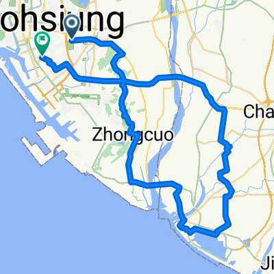
- Fongshan District, Taiwan, Taiwan
A cycling route starting in Fongshan District, Taiwan, Taiwan.
Overview
20100103首發
第一休憩點及折返點-玉井。(預定九點半到達。)
第二休憩點-關仔嶺。(預定十二點到達。)
第三休憩點-新市。(不詳)
created this 16 years ago
Route quality
Access road
27.3 km
(13 %)
Road
25.2 km
(12 %)
Paved
69.3 km
(33 %)
Asphalt
69.3 km
(33 %)
Undefined
140.7 km
(67 %)
Route highlights
玉馥門市,中午回家的人折返點。
桶仔雞或是其它。
Continue with Bikemap
You would like to ride 北大武車隊-關仔嶺 or customize it for your own trip? Here is what you can do with this Bikemap route:
Free trial for 3 days, or one-time payment. More about Bikemap Premium.
Discover more Premium features.
Get Bikemap PremiumFrom our community
Open it in the app