
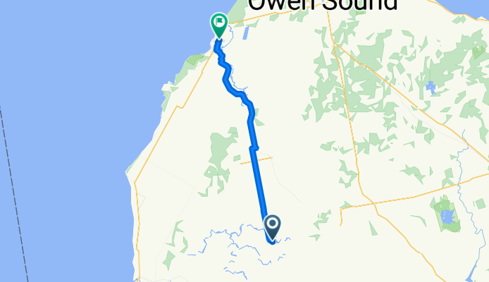
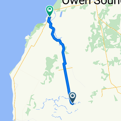
Overview
About this route
- -:--
- Duration
- 76.7 km
- Distance
- 122 m
- Ascent
- 253 m
- Descent
- ---
- Avg. speed
- ---
- Max. altitude

Part of
Windsor-Tobermory_Day2
2 stages
Route quality
Waytypes & surfaces along the route
Waytypes
Path
30.8 km
(40 %)
Busy road
28.2 km
(37 %)
Surfaces
Paved
13 km
(17 %)
Unpaved
32.1 km
(42 %)
Gravel
18.4 km
(24 %)
Unpaved (undefined)
12.6 km
(16 %)
Continue with Bikemap
Use, edit, or download this cycling route
You would like to ride Tobermory Ride Leg 4 or customize it for your own trip? Here is what you can do with this Bikemap route:
Free features
- Save this route as favorite or in collections
- Copy & plan your own version of this route
- Sync your route with Garmin or Wahoo
Premium features
Free trial for 3 days, or one-time payment. More about Bikemap Premium.
- Navigate this route on iOS & Android
- Export a GPX / KML file of this route
- Create your custom printout (try it for free)
- Download this route for offline navigation
Discover more Premium features.
Get Bikemap PremiumFrom our community
Other popular routes starting in Wingham
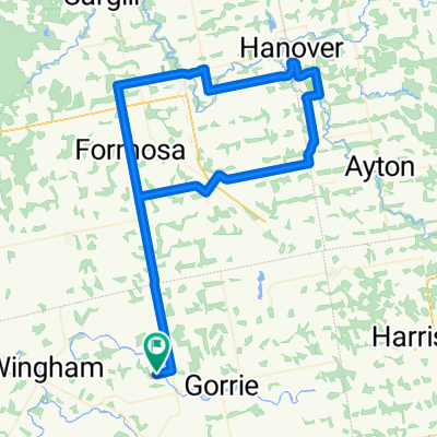
 Tobermory Ride Leg 4
- Distance
- 76.7 km
- Ascent
- 122 m
- Descent
- 253 m
- Location
- Wingham, Ontario, Canada
 River Valley from Orange Hill Rd.
- Distance
- 96.1 km
- Ascent
- 288 m
- Descent
- 288 m
- Location
- Wingham, Ontario, Canada
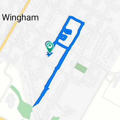 204 Frances St, North Huron to 197 Frances St, North Huron
- Distance
- 2.2 km
- Ascent
- 49 m
- Descent
- 51 m
- Location
- Wingham, Ontario, Canada
Open it in the app