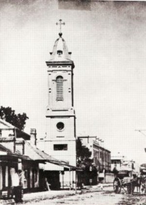
New Orleans Jazz National Park Service bike tour
A cycling route starting in Arabi, Louisiana, United States.
Overview
About this route
A bike tour centered around the history of New Orleans and its Jazz origins.
- -:--
- Duration
- 14.5 km
- Distance
- 17 m
- Ascent
- 19 m
- Descent
- ---
- Avg. speed
- ---
- Max. altitude
Route highlights
Points of interest along the route
Point of interest after 2.9 km
Start bike tour at the Old U.S. Mint

Point of interest after 3.5 km
Musee Rosette Rochon free woman of color entrepreneur
Point of interest after 3.8 km
Pauger and Bourbon meet

Point of interest after 5 km
Iroquois theater

Point of interest after 5.4 km
Lulu Whites Saloon 237 Basin St.

Point of interest after 5.4 km
The Arlington 225 Basin St.

Point of interest after 8.9 km
City Park
Point of interest after 11.1 km
Le Musee- 2336 Esplanade Ave
Point of interest after 13.6 km
Lafitte Greenway trail start; follow trail to City Park

Point of interest after 13.9 km
Louis Armstrong Statue

Point of interest after 13.9 km
Congo Square dedication

Point of interest after 13.9 km
Sidney Bechet Statue

Point of interest after 13.9 km
Armstrong Park

Point of interest after 14.4 km
St. Augustine Church, the oldest African-American parish in the United States
Continue with Bikemap
Use, edit, or download this cycling route
You would like to ride New Orleans Jazz National Park Service bike tour or customize it for your own trip? Here is what you can do with this Bikemap route:
Free features
- Save this route as favorite or in collections
- Copy & plan your own version of this route
- Sync your route with Garmin or Wahoo
Premium features
Free trial for 3 days, or one-time payment. More about Bikemap Premium.
- Navigate this route on iOS & Android
- Export a GPX / KML file of this route
- Create your custom printout (try it for free)
- Download this route for offline navigation
Discover more Premium features.
Get Bikemap PremiumFrom our community
Other popular routes starting in Arabi
 Roselyn Park Place 237, New Orleans to Roselyn Park Place 237, New Orleans
- Distance
- 11.6 km
- Ascent
- 30 m
- Descent
- 0 m
- Location
- Arabi, Louisiana, United States
 Eastern HSDRRS
- Distance
- 48.6 km
- Ascent
- 31 m
- Descent
- 30 m
- Location
- Arabi, Louisiana, United States
 East Route to Dowmman
- Distance
- 21.4 km
- Ascent
- 43 m
- Descent
- 44 m
- Location
- Arabi, Louisiana, United States
 1425 Jourdan Ave, New Orleans to 1436 Reynes St, New Orleans
- Distance
- 6.6 km
- Ascent
- 12 m
- Descent
- 8 m
- Location
- Arabi, Louisiana, United States
 3601 Saint Claude Ave, New Orleans to 1125 Congress St, New Orleans
- Distance
- 24.5 km
- Ascent
- 37 m
- Descent
- 41 m
- Location
- Arabi, Louisiana, United States
 Chartres Street 4000, New Orleans to Port of New Orleans Place 1100
- Distance
- 5.5 km
- Ascent
- 31 m
- Descent
- 24 m
- Location
- Arabi, Louisiana, United States
 Eastern HSDRRS Levee Ride
- Distance
- 48.3 km
- Ascent
- 23 m
- Descent
- 20 m
- Location
- Arabi, Louisiana, United States
 2202 Desire St, New Orleans to 1361–1399 N Rocheblave St, New Orleans
- Distance
- 5.6 km
- Ascent
- 9 m
- Descent
- 0 m
- Location
- Arabi, Louisiana, United States
Open it in the app

