

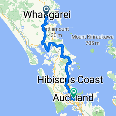
Whangarei, NZ - One Tree Hill, NZ
A cycling route starting in Whangarei, Northland Region, New Zealand.
Overview
About this route
- -:--
- Duration
- 200 km
- Distance
- 1,189 m
- Ascent
- 1,039 m
- Descent
- ---
- Avg. speed
- ---
- Max. altitude

Route quality
Waytypes & surfaces along the route
Waytypes
Quiet road
78 km
(39 %)
Road
38 km
(19 %)
Surfaces
Paved
158 km
(79 %)
Unpaved
38 km
(19 %)
Asphalt
90 km
(45 %)
Paved (undefined)
60 km
(30 %)
Continue with Bikemap
Use, edit, or download this cycling route
You would like to ride Whangarei, NZ - One Tree Hill, NZ or customize it for your own trip? Here is what you can do with this Bikemap route:
Free features
- Save this route as favorite or in collections
- Copy & plan your own version of this route
- Split it into stages to create a multi-day tour
- Sync your route with Garmin or Wahoo
Premium features
Free trial for 3 days, or one-time payment. More about Bikemap Premium.
- Navigate this route on iOS & Android
- Export a GPX / KML file of this route
- Create your custom printout (try it for free)
- Download this route for offline navigation
Discover more Premium features.
Get Bikemap PremiumFrom our community
Other popular routes starting in Whangarei
 Kiwi Day6
- Distance
- 87.4 km
- Ascent
- 835 m
- Descent
- 836 m
- Location
- Whangarei, Northland Region, New Zealand
 New Zeland Tour 2
- Distance
- 229.5 km
- Ascent
- 1,195 m
- Descent
- 1,171 m
- Location
- Whangarei, Northland Region, New Zealand
 Whangarei, NZ - One Tree Hill, NZ
- Distance
- 200 km
- Ascent
- 1,189 m
- Descent
- 1,039 m
- Location
- Whangarei, Northland Region, New Zealand
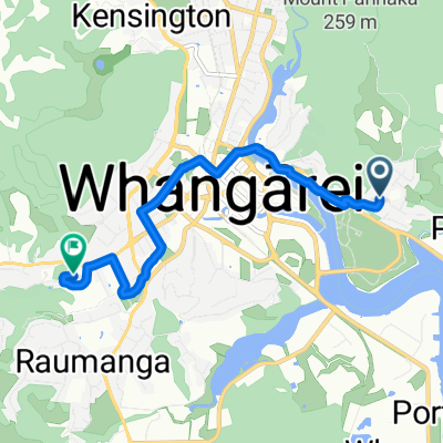 From Parahaki to Horahora
- Distance
- 6.6 km
- Ascent
- 66 m
- Descent
- 77 m
- Location
- Whangarei, Northland Region, New Zealand
 Northland - step 12
- Distance
- 47.5 km
- Ascent
- 446 m
- Descent
- 452 m
- Location
- Whangarei, Northland Region, New Zealand
 24 Apotu Road, Kauri to 78 Kerikeri Road, Kerikeri
- Distance
- 76.3 km
- Ascent
- 1,194 m
- Descent
- 1,282 m
- Location
- Whangarei, Northland Region, New Zealand
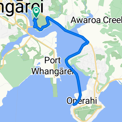 Pohe Island Drive, Parahaki to Pohe Island Drive, Parahaki
- Distance
- 16.2 km
- Ascent
- 58 m
- Descent
- 58 m
- Location
- Whangarei, Northland Region, New Zealand
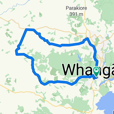 Kamo - Kara 1
- Distance
- 39.2 km
- Ascent
- 398 m
- Descent
- 398 m
- Location
- Whangarei, Northland Region, New Zealand
Open it in the app