

Balatongyörök - Fonyód - Badacsony - Balatongyörök
A cycling route starting in Vonyarcvashegy, Zala County, Hungary.
Overview
About this route
- 6 h 51 min
- Duration
- 69.7 km
- Distance
- 71 m
- Ascent
- 69 m
- Descent
- 10.2 km/h
- Avg. speed
- ---
- Max. altitude
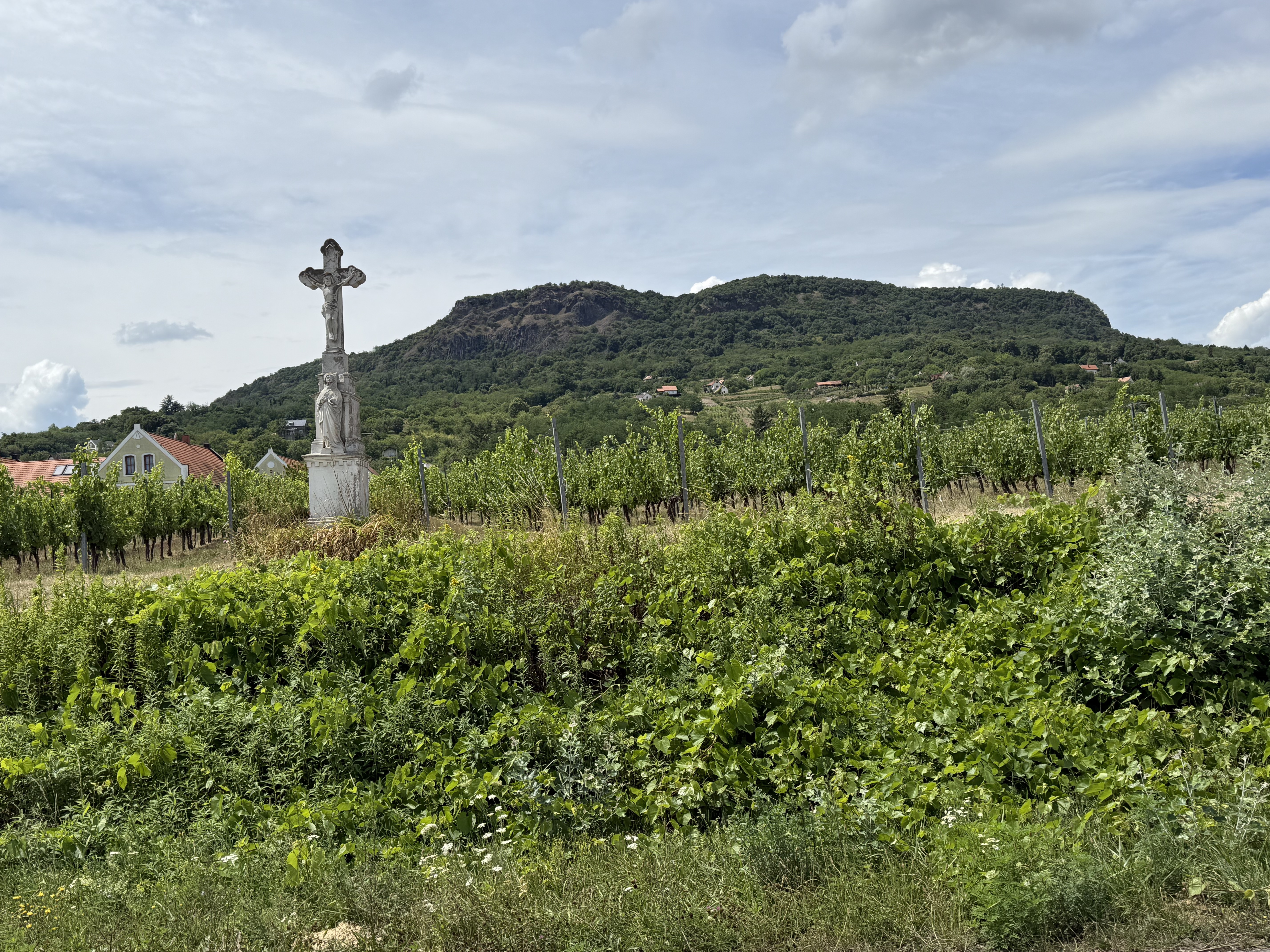
Route photos

Route highlights
Points of interest along the route
Point of interest after 23.5 km
Balatonberény
Point of interest after 23.6 km
Balatonberény A külhonban élő magyarok parkja
Continue with Bikemap
Use, edit, or download this cycling route
You would like to ride Balatongyörök - Fonyód - Badacsony - Balatongyörök or customize it for your own trip? Here is what you can do with this Bikemap route:
Free features
- Save this route as favorite or in collections
- Copy & plan your own version of this route
- Sync your route with Garmin or Wahoo
Premium features
Free trial for 3 days, or one-time payment. More about Bikemap Premium.
- Navigate this route on iOS & Android
- Export a GPX / KML file of this route
- Create your custom printout (try it for free)
- Download this route for offline navigation
Discover more Premium features.
Get Bikemap PremiumFrom our community
Other popular routes starting in Vonyarcvashegy
 Györök - Borbarátok - Szent-György-hegy - Györök
- Distance
- 48.6 km
- Ascent
- 251 m
- Descent
- 253 m
- Location
- Vonyarcvashegy, Zala County, Hungary
 Petőfi Sándor utca 33, Balatongyörök to Petőfi Sándor utca 18, Balatongyörök
- Distance
- 5 km
- Ascent
- 19 m
- Descent
- 32 m
- Location
- Vonyarcvashegy, Zala County, Hungary
 Kk 20250728 Bederics- Tapolca
- Distance
- 16.2 km
- Ascent
- 83 m
- Descent
- 124 m
- Location
- Vonyarcvashegy, Zala County, Hungary
 Balatoni keringő
- Distance
- 142.2 km
- Ascent
- 122 m
- Descent
- 122 m
- Location
- Vonyarcvashegy, Zala County, Hungary
 Balatongyörök - Balatonszentgyörgy csapattal
- Distance
- 26.2 km
- Ascent
- 42 m
- Descent
- 16 m
- Location
- Vonyarcvashegy, Zala County, Hungary
 Vonyarc.-Nagyvazsony.-Vonyarc.
- Distance
- 110.8 km
- Ascent
- 535 m
- Descent
- 524 m
- Location
- Vonyarcvashegy, Zala County, Hungary
 Eresztényi út, Balatongyörök - Eresztényi út, Balatongyörök
- Distance
- 36.4 km
- Ascent
- 224 m
- Descent
- 230 m
- Location
- Vonyarcvashegy, Zala County, Hungary
 Eresztényi út, Balatongyörök - Eresztényi út, Balatongyörök
- Distance
- 36.4 km
- Ascent
- 229 m
- Descent
- 231 m
- Location
- Vonyarcvashegy, Zala County, Hungary
Open it in the app