oranienburg 2
- 61.8 km
- 214 m
- 247 m
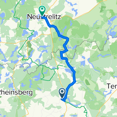
- Großwoltersdorf, Brandenburg, Germany
A cycling route starting in Großwoltersdorf, Brandenburg, Germany.
Overview
From Dannenwalde to Granzin (80 km, 400 m elevation). In Granzin, there is a very good Italian restaurant, closed on Tuesday and Wednesday. But there is also a good inn in Dalmsdorf. From Granzin to Dannenwalde (80 km, 500 m elevation). The route is very beautiful and varied. The surface is good, except for some forest sections that are somewhat sandy in places.
created this 9 years ago
Route quality
Quiet road
46.6 km
(30 %)
Road
35.7 km
(23 %)
Paved
108.8 km
(70 %)
Unpaved
15.5 km
(10 %)
Asphalt
99.5 km
(64 %)
Concrete
7.8 km
(5 %)
Continue with Bikemap
You would like to ride Tour de Kratzeburg or customize it for your own trip? Here is what you can do with this Bikemap route:
Free trial for 3 days, or one-time payment. More about Bikemap Premium.
Discover more Premium features.
Get Bikemap PremiumFrom our community
Open it in the app