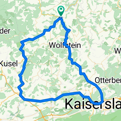
Hauptstraße 57, Lauterecken nach Bungertstraße 9, Namborn
- 64 km
- 1,839 m
- 1,706 m
- Lauterecken, Rhineland-Palatinate, Germany
A cycling route starting in Lauterecken, Rhineland-Palatinate, Germany.
Overview
Start in Lauterecken, along the Glan via Meisenheim to Bad Sobernheim. Passing the Nahe via Bad Kreuznach to Bingen. Rhine crossing by ferry Niederheimbach-Lorch. Continue on the right bank of the Rhine to Wellmich. Climb via Dahlheim in Taunus, Dachsenhausen. Descent to Bad Ems. Through Denzerheide to KO to the fortress.
created this 9 years ago
Route quality
Path
24.2 km
(19 %)
Track
22.9 km
(18 %)
Paved
102 km
(80 %)
Unpaved
6.4 km
(5 %)
Asphalt
90.5 km
(71 %)
Paved (undefined)
10.2 km
(8 %)
Continue with Bikemap
You would like to ride Glan-Nahe-Rhein-Lahn or customize it for your own trip? Here is what you can do with this Bikemap route:
Free trial for 3 days, or one-time payment. More about Bikemap Premium.
Discover more Premium features.
Get Bikemap PremiumFrom our community
Open it in the app