
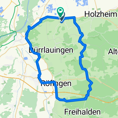
Unterallgäu und Stauden
A cycling route starting in Aislingen, Bavaria, Germany.
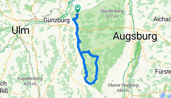
Overview
About this route
Start Windhausen bei Aislingen (Landkreis Dillingen / Donau)
Lockere Runde
- -:--
- Duration
- 114.1 km
- Distance
- 467 m
- Ascent
- 467 m
- Descent
- ---
- Avg. speed
- ---
- Max. altitude

Route quality
Waytypes & surfaces along the route
Waytypes
Road
29.8 km
(26 %)
Busy road
28.9 km
(25 %)
Surfaces
Paved
107.9 km
(95 %)
Unpaved
1.5 km
(1 %)
Asphalt
90.6 km
(79 %)
Paved (undefined)
17.4 km
(15 %)
Continue with Bikemap
Use, edit, or download this cycling route
You would like to ride Unterallgäu und Stauden or customize it for your own trip? Here is what you can do with this Bikemap route:
Free features
- Save this route as favorite or in collections
- Copy & plan your own version of this route
- Split it into stages to create a multi-day tour
- Sync your route with Garmin or Wahoo
Premium features
Free trial for 3 days, or one-time payment. More about Bikemap Premium.
- Navigate this route on iOS & Android
- Export a GPX / KML file of this route
- Create your custom printout (try it for free)
- Download this route for offline navigation
Discover more Premium features.
Get Bikemap PremiumFrom our community
Other popular routes starting in Aislingen
 Unterallgäu und Stauden
- Distance
- 114.1 km
- Ascent
- 467 m
- Descent
- 467 m
- Location
- Aislingen, Bavaria, Germany
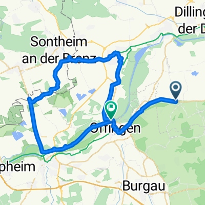 Aisl.Günzb.Riedhausen,Sontheim,Gundelfingen
- Distance
- 46.2 km
- Ascent
- 52 m
- Descent
- 39 m
- Location
- Aislingen, Bavaria, Germany
 Aschbergrunde
- Distance
- 32.9 km
- Ascent
- 484 m
- Descent
- 484 m
- Location
- Aislingen, Bavaria, Germany
 Aislingen bis Oberndorf am Lech
- Distance
- 57.6 km
- Ascent
- 45 m
- Descent
- 69 m
- Location
- Aislingen, Bavaria, Germany
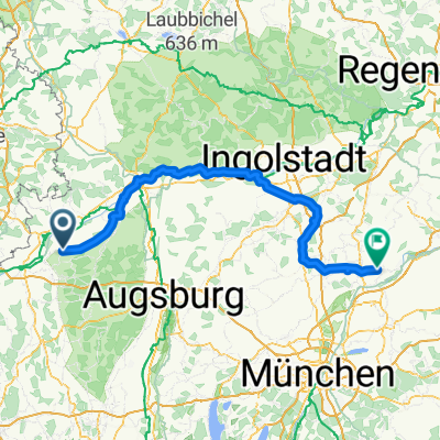 Hauptstraße 30, Aislingen nach Hagenaustraße 25, Haag an der Amper
- Distance
- 163.5 km
- Ascent
- 615 m
- Descent
- 626 m
- Location
- Aislingen, Bavaria, Germany
 7 Kapellen Radrundweg neu Nordteil b(ca.66km)
- Distance
- 65.4 km
- Ascent
- 525 m
- Descent
- 526 m
- Location
- Aislingen, Bavaria, Germany
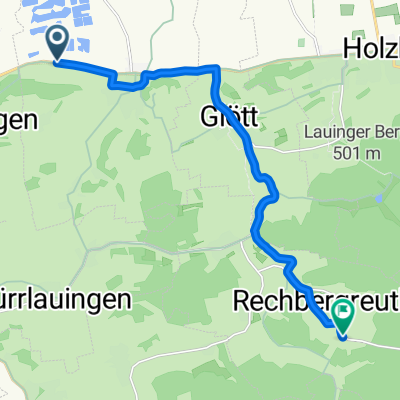
 Aisl-glöttweng-Scheppach-Burg.-Aisl.
- Distance
- 42.9 km
- Ascent
- 196 m
- Descent
- 212 m
- Location
- Aislingen, Bavaria, Germany
 St 2028, Aislingen nach Dorfstraße, Winterbach
- Distance
- 11.2 km
- Ascent
- 105 m
- Descent
- 25 m
- Location
- Aislingen, Bavaria, Germany
Open it in the app