Mirabel et Blacons - Camargue - Mirabel et Blacons
- 509.8 km
- 581 m
- 581 m
- Aouste-sur-Sye, Auvergne-Rhône-Alpes, France
A cycling route starting in Aouste-sur-Sye, Auvergne-Rhône-Alpes, France.
Overview
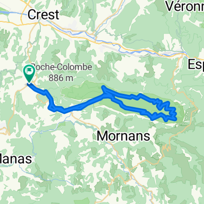
Suze - Col des Limouches and return via Cobonne
created this 9 years ago
Route quality
Road
27.8 km
60 %
Track
2.8 km
6 %
Paved
28.3 km
(61 %)
Unpaved
2.8 km
(6 %)
Asphalt
28.3 km
61 %
Unpaved (undefined)
1.9 km
4 %
Continue with Bikemap
You would like to ride suze - col des limouches et retour or customize it for your own trip? Here is what you can do with this Bikemap route:
Free trial for 3 days, or one-time payment. More about Bikemap Premium.
Discover more Premium features.
Get Bikemap PremiumFrom our community
Open it in the app