Cammino Briganti MTB tour DE
- 89.1 km
- 2,730 m
- 2,730 m
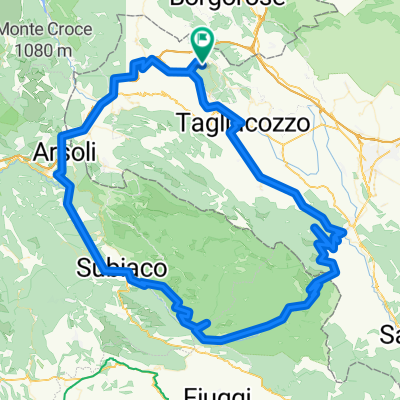
- Sante Marie, Abruzzo, Italy
A cycling route starting in Sante Marie, Abruzzo, Italy.
Overview
Tour of the Marsica passing through Meta, Canistro, and Camporotondo
created this 9 years ago
Route quality
Quiet road
20.5 km
(16 %)
Road
16.6 km
(13 %)
Paved
84.4 km
(66 %)
Asphalt
84.4 km
(66 %)
Undefined
43.5 km
(34 %)
Continue with Bikemap
You would like to ride Meta - Canistro - Camporotondo or customize it for your own trip? Here is what you can do with this Bikemap route:
Free trial for 3 days, or one-time payment. More about Bikemap Premium.
Discover more Premium features.
Get Bikemap PremiumFrom our community
Open it in the app