

Overview
About this route
- 2 h 31 min
- Duration
- 26.8 km
- Distance
- 935 m
- Ascent
- 1,346 m
- Descent
- 10.7 km/h
- Avg. speed
- ---
- Max. altitude

Part of
kronplatz umrundung
2 stages
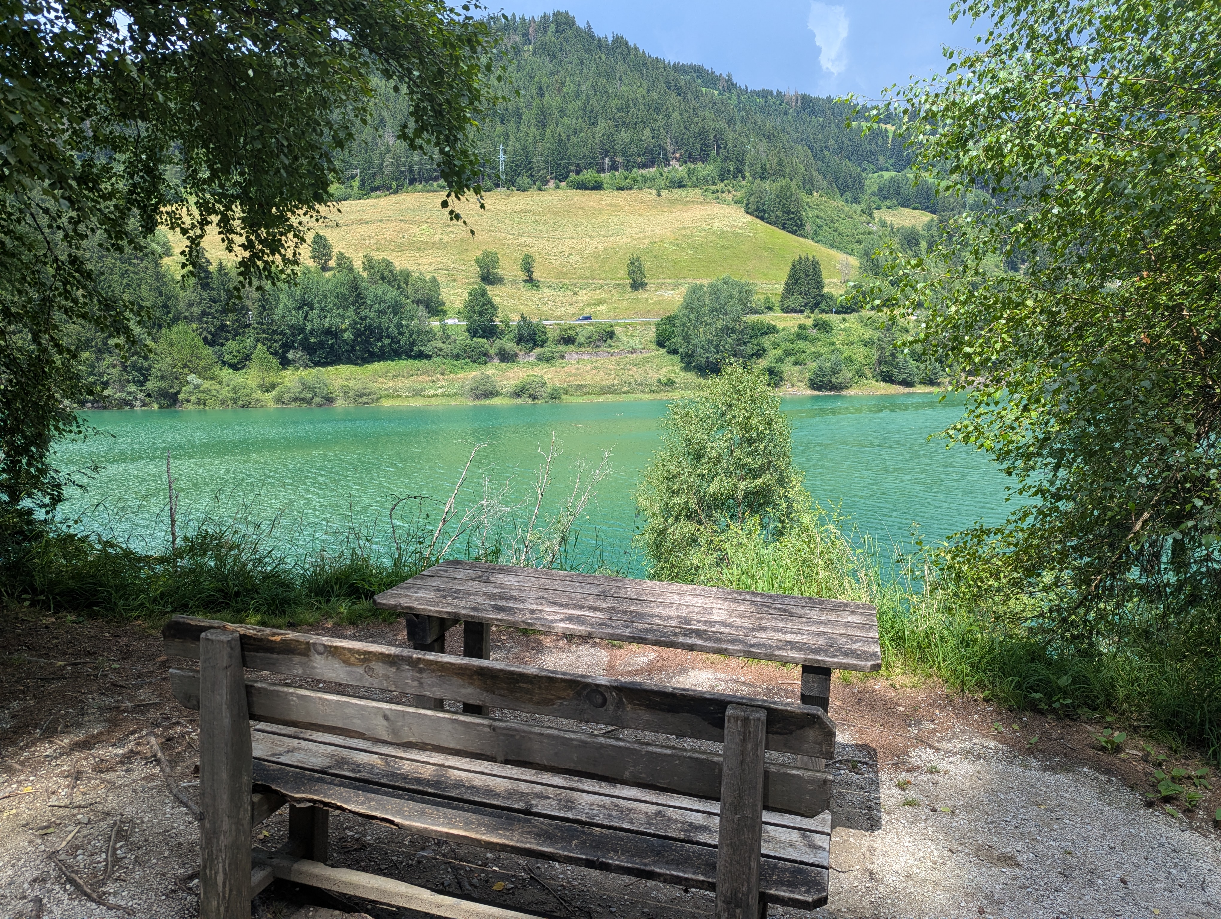
Route photos


Route highlights
Points of interest along the route
Point of interest after 3.3 km
trattes mühle

Point of interest after 6.4 km
Bivacco hütte

Point of interest after 9.7 km
schoflocke-geiselsberger hütte

Point of interest after 11 km
corones hütte
Continue with Bikemap
Use, edit, or download this cycling route
You would like to ride kronplatz or customize it for your own trip? Here is what you can do with this Bikemap route:
Free features
- Save this route as favorite or in collections
- Copy & plan your own version of this route
- Sync your route with Garmin or Wahoo
Premium features
Free trial for 3 days, or one-time payment. More about Bikemap Premium.
- Navigate this route on iOS & Android
- Export a GPX / KML file of this route
- Create your custom printout (try it for free)
- Download this route for offline navigation
Discover more Premium features.
Get Bikemap PremiumFrom our community
Other popular routes starting in Olang
 Antholzer Höhentour ab Olang
- Distance
- 37 km
- Ascent
- 1,461 m
- Descent
- 1,181 m
- Location
- Olang, Trentino-Alto Adige, Italy
 Route nach Via Polo Stegona Marco
- Distance
- 14.8 km
- Ascent
- 48 m
- Descent
- 329 m
- Location
- Olang, Trentino-Alto Adige, Italy
 Da Via Sorafurcia, Valdaora a Via Egger 21, Valdaora
- Distance
- 23.3 km
- Ascent
- 1,360 m
- Descent
- 888 m
- Location
- Olang, Trentino-Alto Adige, Italy
 Olang-St. Vigil-Bruneck-Olang
- Distance
- 49.4 km
- Ascent
- 1,250 m
- Descent
- 1,251 m
- Location
- Olang, Trentino-Alto Adige, Italy
 Olang Pragser Wildsee 36km
- Distance
- 35.5 km
- Ascent
- 627 m
- Descent
- 628 m
- Location
- Olang, Trentino-Alto Adige, Italy
 Olang-Wahlen-Unterplanken-Olang
- Distance
- 42.7 km
- Ascent
- 647 m
- Descent
- 647 m
- Location
- Olang, Trentino-Alto Adige, Italy
 kronplatz
- Distance
- 22.7 km
- Ascent
- 1,129 m
- Descent
- 1,129 m
- Location
- Olang, Trentino-Alto Adige, Italy
 kronplatz
- Distance
- 26.8 km
- Ascent
- 935 m
- Descent
- 1,346 m
- Location
- Olang, Trentino-Alto Adige, Italy
Open it in the app