
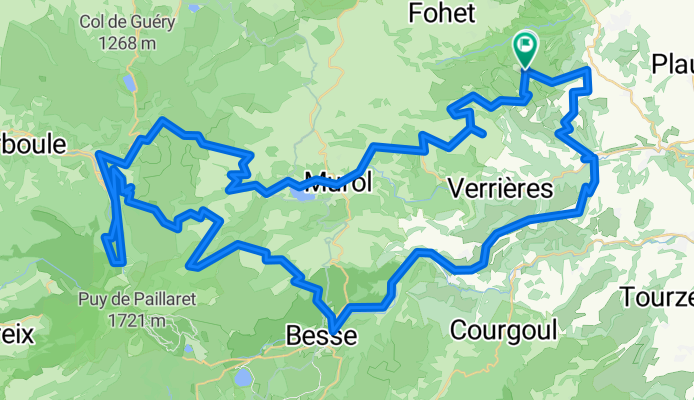
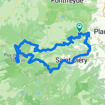
opdecahier_auvergne2007_03
A cycling route starting in Saint-Saturnin, Auvergne-Rhône-Alpes, France.
Overview
About this route
Beautiful ride alternating between the volcanic sections of Auvergne and the central highlands
- -:--
- Duration
- 99.6 km
- Distance
- 2,216 m
- Ascent
- 2,364 m
- Descent
- ---
- Avg. speed
- 1,447 m
- Max. altitude

Route quality
Waytypes & surfaces along the route
Waytypes
Road
42.8 km
(43 %)
Track
11.9 km
(12 %)
Surfaces
Paved
44.8 km
(45 %)
Unpaved
4 km
(4 %)
Asphalt
41.8 km
(42 %)
Paved (undefined)
3 km
(3 %)
Continue with Bikemap
Use, edit, or download this cycling route
You would like to ride opdecahier_auvergne2007_03 or customize it for your own trip? Here is what you can do with this Bikemap route:
Free features
- Save this route as favorite or in collections
- Copy & plan your own version of this route
- Split it into stages to create a multi-day tour
- Sync your route with Garmin or Wahoo
Premium features
Free trial for 3 days, or one-time payment. More about Bikemap Premium.
- Navigate this route on iOS & Android
- Export a GPX / KML file of this route
- Create your custom printout (try it for free)
- Download this route for offline navigation
Discover more Premium features.
Get Bikemap PremiumFrom our community
Other popular routes starting in Saint-Saturnin
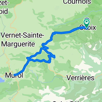
 St-Sandoux - St-Robert - Croix Morand
- Distance
- 90.6 km
- Ascent
- 1,556 m
- Descent
- 1,556 m
- Location
- Saint-Saturnin, Auvergne-Rhône-Alpes, France
 Saint-Saturnin - Mont-Dore
- Distance
- 53.9 km
- Ascent
- 891 m
- Descent
- 934 m
- Location
- Saint-Saturnin, Auvergne-Rhône-Alpes, France
 AG short
- Distance
- 21.2 km
- Ascent
- 496 m
- Descent
- 312 m
- Location
- Saint-Saturnin, Auvergne-Rhône-Alpes, France
 opdecahier_auvergne2007_03
- Distance
- 99.6 km
- Ascent
- 2,216 m
- Descent
- 2,364 m
- Location
- Saint-Saturnin, Auvergne-Rhône-Alpes, France
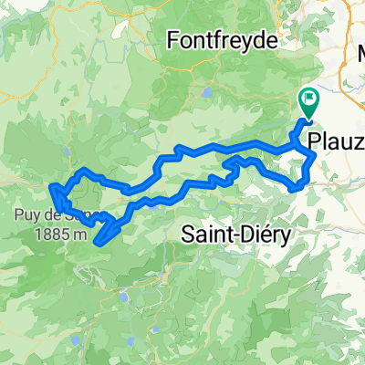
 Olloix Murol
- Distance
- 28.3 km
- Ascent
- 619 m
- Descent
- 621 m
- Location
- Saint-Saturnin, Auvergne-Rhône-Alpes, France
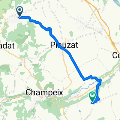 2 Rue du Docteur Darteyre, Saint-Sandoux à 22 Rue du Mont Mouchet, Chadeleuf
- Distance
- 11.2 km
- Ascent
- 140 m
- Descent
- 285 m
- Location
- Saint-Saturnin, Auvergne-Rhône-Alpes, France
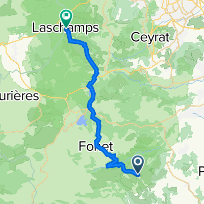
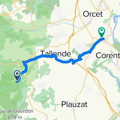
 1 Place du 8 Mai, Saint-Saturnin à 21 Rue de Clermont, Les Martres-de-Veyre
- Distance
- 9.3 km
- Ascent
- 17 m
- Descent
- 172 m
- Location
- Saint-Saturnin, Auvergne-Rhône-Alpes, France
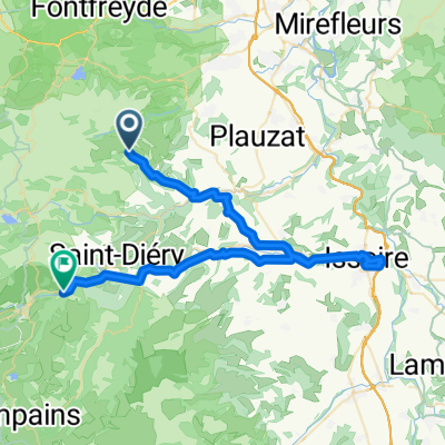
 285 Route de Randol, Cournols à 24 Rue de Clermont, Les Martres-de-Veyre
- Distance
- 14.1 km
- Ascent
- 73 m
- Descent
- 327 m
- Location
- Saint-Saturnin, Auvergne-Rhône-Alpes, France
Open it in the app