

Les PAYS-BAS Août 2016
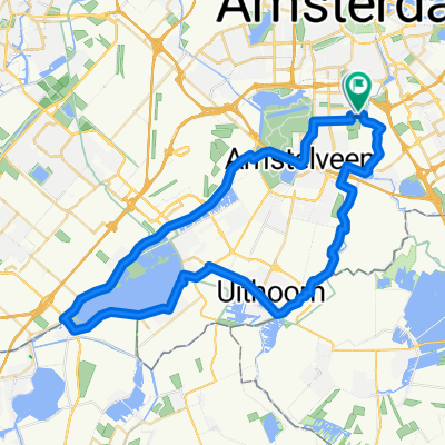
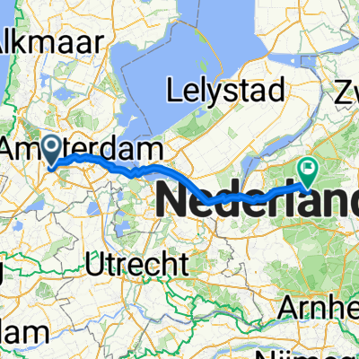
A cycling route starting in Amstelveen, North Holland, The Netherlands.
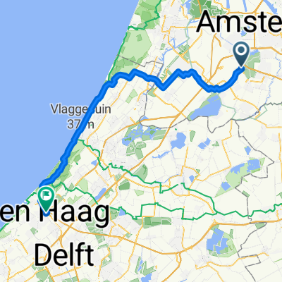
Overview
About this route
- -:--
- Duration
- 298.3 km
- Distance
- 9 m
- Ascent
- 9 m
- Descent
- ---
- Avg. speed
- ---
- Max. altitude

Route highlights
Points of interest along the route
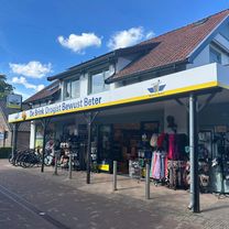
Point of interest after 79 km
WS Gonnie et Teun
Point of interest after 145.3 km
Musée de la mer et des pilleurs d'épaves
Point of interest after 166.6 km
Vrienden op de Fiets
Point of interest after 241.1 km
Vrienden op de Fiets
Point of interest after 268.3 km
Régate de vieux gréments
Point of interest after 268.5 km
Brienden op de Fiets
Point of interest after 280.8 km
ferry pour Enkhuizen
Point of interest after 298.3 km
WS Bauke et Elske
Continue with Bikemap
Use, edit, or download this cycling route
You would like to ride Les PAYS-BAS Août 2016 or customize it for your own trip? Here is what you can do with this Bikemap route:
Free features
- Save this route as favorite or in collections
- Copy & plan your own version of this route
- Split it into stages to create a multi-day tour
- Sync your route with Garmin or Wahoo
Premium features
Free trial for 3 days, or one-time payment. More about Bikemap Premium.
- Navigate this route on iOS & Android
- Export a GPX / KML file of this route
- Create your custom printout (try it for free)
- Download this route for offline navigation
Discover more Premium features.
Get Bikemap PremiumFrom our community
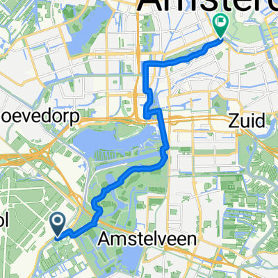
Other popular routes starting in Amstelveen
 Route in Amsterdam
- Distance
- 52.6 km
- Ascent
- 50 m
- Descent
- 54 m
- Location
- Amstelveen, North Holland, The Netherlands
 Fokkerstraat naar Apeldoornseweg
- Distance
- 85.7 km
- Ascent
- 184 m
- Descent
- 124 m
- Location
- Amstelveen, North Holland, The Netherlands
 Westeinderplassen 47km
- Distance
- 47.2 km
- Ascent
- 8 m
- Descent
- 8 m
- Location
- Amstelveen, North Holland, The Netherlands
 01 Amsterdam to Almere
- Distance
- 31.4 km
- Ascent
- 55 m
- Descent
- 61 m
- Location
- Amstelveen, North Holland, The Netherlands
 1ste etappe Fokkerstraat - Mennorode
- Distance
- 94.9 km
- Ascent
- 425 m
- Descent
- 381 m
- Location
- Amstelveen, North Holland, The Netherlands
 Route to Hard Rock Cafe
- Distance
- 12.7 km
- Ascent
- 36 m
- Descent
- 26 m
- Location
- Amstelveen, North Holland, The Netherlands
 1 izbrauciens
- Distance
- 15.3 km
- Ascent
- 21 m
- Descent
- 29 m
- Location
- Amstelveen, North Holland, The Netherlands
 Von Amsterdam bis Den Haag
- Distance
- 62.4 km
- Ascent
- 130 m
- Descent
- 119 m
- Location
- Amstelveen, North Holland, The Netherlands
Open it in the app