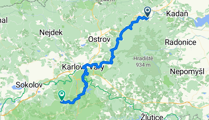


Okolo Doupovských hor
- 102 km
- 859 m
- 854 m
- Perštejn, Ústecký kraj, Czechia
A cycling route starting in Perštejn, Ústecký kraj, Czechia.
Overview
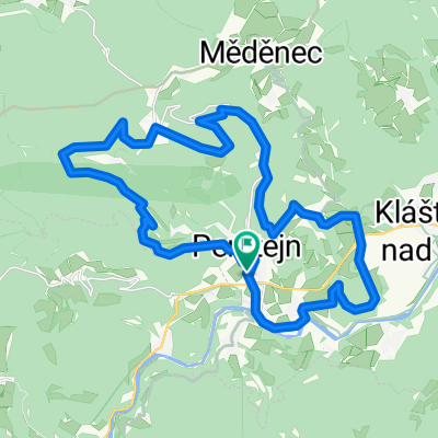
Ohníč - Public campsite at Horní Slavkov
created this 9 years ago
Continue with Bikemap
You would like to ride Bikolka 2016 - den druhý or customize it for your own trip? Here is what you can do with this Bikemap route:
Free trial for 3 days, or one-time payment. More about Bikemap Premium.
Discover more Premium features.
Get Bikemap PremiumFrom our community
Open it in the app