

Brake Bread Saturday 1
- 27.1 km
- 199 m
- 197 m
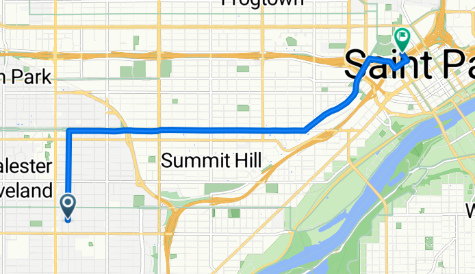
- West Saint Paul, Minnesota, United States
MNARNG20 W 12th stSaint Paul55155
This address was not found via on-line mapping programs. The zip returned by computer searches for this area is 55105. I made the assumption this was the proper location due to tha National Guard facility at 600 Cedar.
Road
5 km68 %Quiet road
1.5 km20 %Paved
4.9 km(66 %)Asphalt
4.6 km62 %Paved (undefined)
0.3 km4 %Undefined
2.5 km34 %Free trial for 3 days, or one-time payment. More about Bikemap Premium.
Discover more Premium features.
Get Bikemap PremiumOpen it in the app


