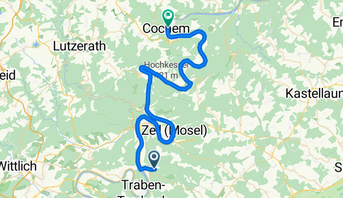
20160723_083959.gpx
A cycling route starting in Enkirch, Rhineland-Palatinate, Germany.
Overview
About this route
TEASI track
- -:--
- Duration
- 54.5 km
- Distance
- 225 m
- Ascent
- 267 m
- Descent
- ---
- Avg. speed
- ---
- Avg. speed
Route quality
Waytypes & surfaces along the route
Waytypes
Path
17.2 km
(32 %)
Road
9.8 km
(18 %)
Surfaces
Paved
44.4 km
(81 %)
Unpaved
3.2 km
(6 %)
Asphalt
36.5 km
(67 %)
Paving stones
5.2 km
(10 %)
Route highlights
Points of interest along the route
Point of interest after 36.9 km
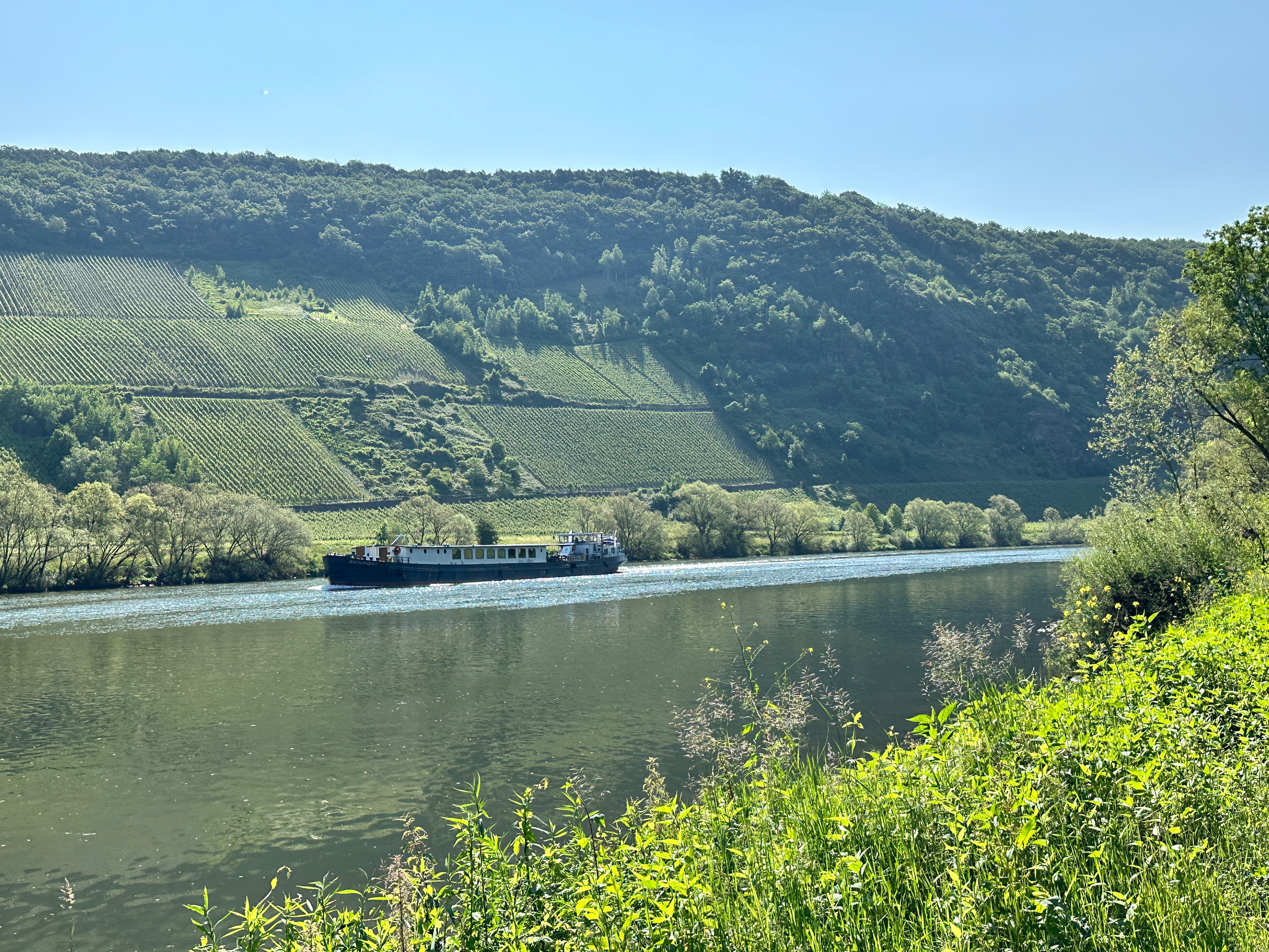
9 | 10 Brunnenstraße
Continue with Bikemap
Use, edit, or download this cycling route
You would like to ride 20160723_083959.gpx or customize it for your own trip? Here is what you can do with this Bikemap route:
Free features
- Save this route as favorite or in collections
- Copy & plan your own version of this route
- Sync your route with Garmin or Wahoo
Premium features
Free trial for 3 days, or one-time payment. More about Bikemap Premium.
- Navigate this route on iOS & Android
- Export a GPX / KML file of this route
- Create your custom printout (try it for free)
- Download this route for offline navigation
Discover more Premium features.
Get Bikemap PremiumFrom our community
Other popular routes starting in Enkirch
- Von Enkirch nach Zell und über Reil wieder zurück
- Distance
- 27.7 km
- Ascent
- 156 m
- Descent
- 155 m
- Location
- Enkirch, Rhineland-Palatinate, Germany
- kleine Moselausfahrt
- Distance
- 42 km
- Ascent
- 331 m
- Descent
- 367 m
- Location
- Enkirch, Rhineland-Palatinate, Germany
- Mosel: Von Wolf bis Witlich (Saar)
- Distance
- 112 km
- Ascent
- 257 m
- Descent
- 237 m
- Location
- Enkirch, Rhineland-Palatinate, Germany
- 20160723_083959.gpx
- Distance
- 54.5 km
- Ascent
- 225 m
- Descent
- 267 m
- Location
- Enkirch, Rhineland-Palatinate, Germany
- MO_3A_Enkirch-COCHEM
- Distance
- 52 km
- Ascent
- 152 m
- Descent
- 170 m
- Location
- Enkirch, Rhineland-Palatinate, Germany
- Bike Tour von Enkirch am linken Ufer nach Traben Trabach und am rechten Ufer über Reil zurück
- Distance
- 22.2 km
- Ascent
- 138 m
- Descent
- 136 m
- Location
- Enkirch, Rhineland-Palatinate, Germany
- 13.08.08 Wolf-Pfalzel
- Distance
- 82.7 km
- Ascent
- 221 m
- Descent
- 198 m
- Location
- Enkirch, Rhineland-Palatinate, Germany
- Mosel Rhein Tour Etappe 2 Enkirch-Koblenz
- Distance
- 97.6 km
- Ascent
- 260 m
- Descent
- 249 m
- Location
- Enkirch, Rhineland-Palatinate, Germany
Open it in the app