- 18.1 km
- 513 m
- 511 m
- Almería, Andalusia, Spain
Almeria - Camino Enix - Huercal
A cycling route starting in Almería, Andalusia, Spain.
Overview
About this route
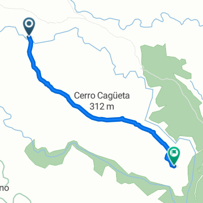
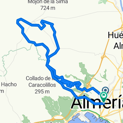
The route begins by taking the old dirt road to Enix, which we follow for 7 km with a height difference of about 380 meters. At km 7, we turn right, leaving the road and descending until we go over the wall of a small dam. We continue on the trail until km 10, where the climb ends at an altitude of 550 meters. We start a descent of about 9 km until we reach km 19, where we will arrive at Huercal. After crossing Huercal, we take the road that runs parallel to the train tracks, until we reach Almeria via Ctra. Sierra Alhamilla.
- -:--
- Duration
- 25 km
- Distance
- 507 m
- Ascent
- 530 m
- Descent
- ---
- Avg. speed
- ---
- Max. altitude
created this 16 years ago
Route highlights
Points of interest along the route
Point of interest after 7.9 km
Girar a la derecha dejando el camino principal a Enix y pasando sobre el muro de una pequeña presa.
Point of interest after 10.6 km
550 metros de altitud, cota máxima de la ruta. Comienza la bajada.
Continue with Bikemap
Use, edit, or download this cycling route
You would like to ride Almeria - Camino Enix - Huercal or customize it for your own trip? Here is what you can do with this Bikemap route:
Free features
- Save this route as favorite or in collections
- Copy & plan your own version of this route
- Sync your route with Garmin or Wahoo
Premium features
Free trial for 3 days, or one-time payment. More about Bikemap Premium.
- Navigate this route on iOS & Android
- Export a GPX / KML file of this route
- Create your custom printout (try it for free)
- Download this route for offline navigation
Discover more Premium features.
Get Bikemap PremiumFrom our community
Other popular routes starting in Almería
- presa- bayana-presa
- Calle Ntra Sra del Río, Almería a Calle de la Virgen de Siracusa, Almería
- 1.6 km
- 22 m
- 24 m
- Almería, Andalusia, Spain
- Almería - San José
- 42.8 km
- 3,081 m
- 1,943 m
- Almería, Andalusia, Spain
- ALMERÍA-ENIX-ALHAMA-ALMERÍA
- 64.4 km
- 1,164 m
- 1,164 m
- Almería, Andalusia, Spain
- De Huércal de Almería a Almería
- 2.6 km
- 3 m
- 341 m
- Almería, Andalusia, Spain
- PESCADERIA , ACANTILADOS
- 19.2 km
- 439 m
- 439 m
- Almería, Andalusia, Spain
- Almería - Santa Fe - Ricaveral
- 71.5 km
- 1,012 m
- 1,013 m
- Almería, Andalusia, Spain
- ... y se paró!
- 31.7 km
- 1,102 m
- 1,110 m
- Almería, Andalusia, Spain
Open it in the app


