ÖH-Ramsen-Bankholzen-Weiler-über Langenmoos zurück
- 34.3 km
- 508 m
- 508 m
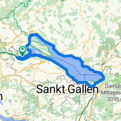
- Öhningen, Baden-Wurttemberg, Germany
A cycling route starting in Öhningen, Baden-Wurttemberg, Germany.
Overview
According to my odometer, 175 KM with 1100 HM. With RR, the road is preferred, too many families on this route just keep you braking.
created this 18 years ago
Route highlights
Start und Ziel
Continue with Bikemap
You would like to ride Oner und Untersee or customize it for your own trip? Here is what you can do with this Bikemap route:
Free trial for 3 days, or one-time payment. More about Bikemap Premium.
Discover more Premium features.
Get Bikemap PremiumFrom our community
Open it in the app