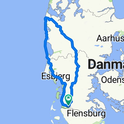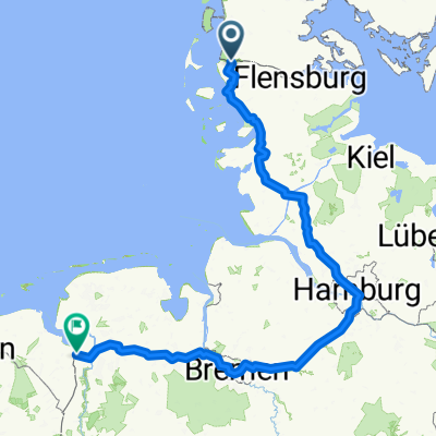
D1 Nordseeküsten-Radweg
- 480.5 km
- 1,022 m
- 1,024 m
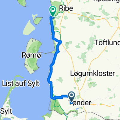
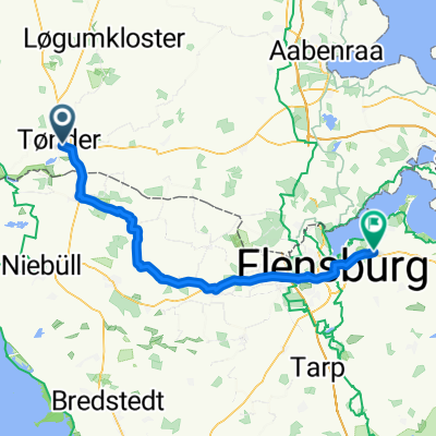
- Tønder, Region South Denmark, Denmark
A cycling route starting in Tønder, Region South Denmark, Denmark.
Overview
created this 9 years ago
Route highlights
Camp
Strandvejen FDF Højer
Degnegård
Lovrup Skov
Engly
Egebæk-Hviding
Varming-Nørbæk plantage
Enderupskov
Arrild
Naturskolen på Gram Slot
Lejrplads ved Gelsåen
Midtgaard
Christiansdal, Pamhule Skov
Bergsplads, Haderslev Sønderskov, Haderslev Dam.
Fuglsang Shelter
Kelstrup
Kalvø, Sønderhavvej ved Kalvø
Aabenraaskovene, Jørgensgård skov
Aabenraaskovene, Sønderskoven, Von Bergens Plads
Torp Plantage
Varnæs Hoved
Hoe Fårefarm
Gråsten, Rinkenæs Skov
Ravnhøj Shelterne
Gråsten Skovene, Syvstjernen
Skodsbøl
Dybbøl
Als, Augustenborg Skov
Als, Nørreskoven, Taksensandpladsen
Fryndesholm
Als, Blommeskobbel
Søby, Ærø
Ulveholm, Ærø
Revkrog ved Ærøskøbing
Højes Ris
Hundtofte Mark
Egeskov Slot : chateau
Ringe
Odense
Skovalléen, Fruens Bøge -MIDLERTIDIG LUKKET
camping gratuit
Simmerbølle
Gammel Skrøbelev
Tårs
Damgårds Rideskole
Paradisets Have
Næs
Bursø Hestehave
Centralgaardens Lejrplads
Kajakly et Dagmarhus
Middelaldercentrer : centre medieval
Bavnehøj Fritidsområde
Fanefjord Kirke : église avec fresques
Kong Asgers Hoj : Tombe à couloir "tombes des géants"
Udby skov, Møn
Møns Klint lejrplads
Hyldevang lejrplads, Nyord Møn
Nyord Vieux village
Hyllinge lejrplads, Fodsporet
Kongskilde, Sorø
Trelleborg
fort viking
Kongskilde lejrplads, ved Møllebækken
Falaises : Mons Klint
Lille Ørnebjerg lejrplads, Møns Klint
Møns Klint, Lovisehøj
ile forteresse
Hammershus slot : ruines chateau
Continue with Bikemap
You would like to ride Danemark or customize it for your own trip? Here is what you can do with this Bikemap route:
Free trial for 3 days, or one-time payment. More about Bikemap Premium.
Discover more Premium features.
Get Bikemap PremiumFrom our community
Open it in the app