tagliato
- 15.1 km
- 601 m
- 591 m
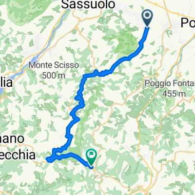
- Maranello, Emilia-Romagna, Italy
A cycling route starting in Maranello, Emilia-Romagna, Italy.
Overview
Maranello - Torre Maina - Serra - Prignano - Mulino Pace - Maranello
created this 9 years ago
Route quality
Quiet road
14.8 km
20 %
Track
3 km
4 %
Paved
14.8 km
(20 %)
Unpaved
3.7 km
(5 %)
Asphalt
8.1 km
11 %
Paved (undefined)
6.6 km
9 %
Continue with Bikemap
You would like to ride Maranello - Prignano or customize it for your own trip? Here is what you can do with this Bikemap route:
Free trial for 3 days, or one-time payment. More about Bikemap Premium.
Discover more Premium features.
Get Bikemap PremiumFrom our community
Open it in the app