CE120225
- 25.4 km
- 129 m
- 132 m
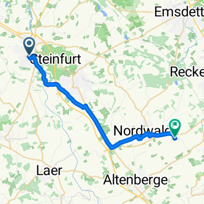
- Steinfurt, North Rhine-Westphalia, Germany
Marcos Touren
A cycling route starting in Steinfurt, North Rhine-Westphalia, Germany.
Overview
medium-length training route in northern Münsterland
almost completely paved paths
created this 9 years ago
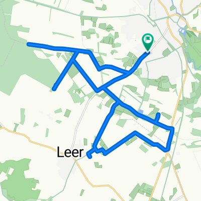
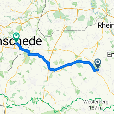
Part of
3 stages
Route quality
Path
29.9 km
(38 %)
Quiet road
10.2 km
(13 %)
Paved
60.6 km
(77 %)
Unpaved
3.1 km
(4 %)
Asphalt
59.8 km
(76 %)
Loose gravel
1.6 km
(2 %)
Continue with Bikemap
You would like to ride Steinfurt - Ibbenbüren - Rheine - Steinfurt or customize it for your own trip? Here is what you can do with this Bikemap route:
Free trial for 3 days, or one-time payment. More about Bikemap Premium.
Discover more Premium features.
Get Bikemap PremiumFrom our community
Open it in the app