

München (City-Parktour 1)
A cycling route starting in Unterföhring, Bavaria, Germany.
Overview
About this route
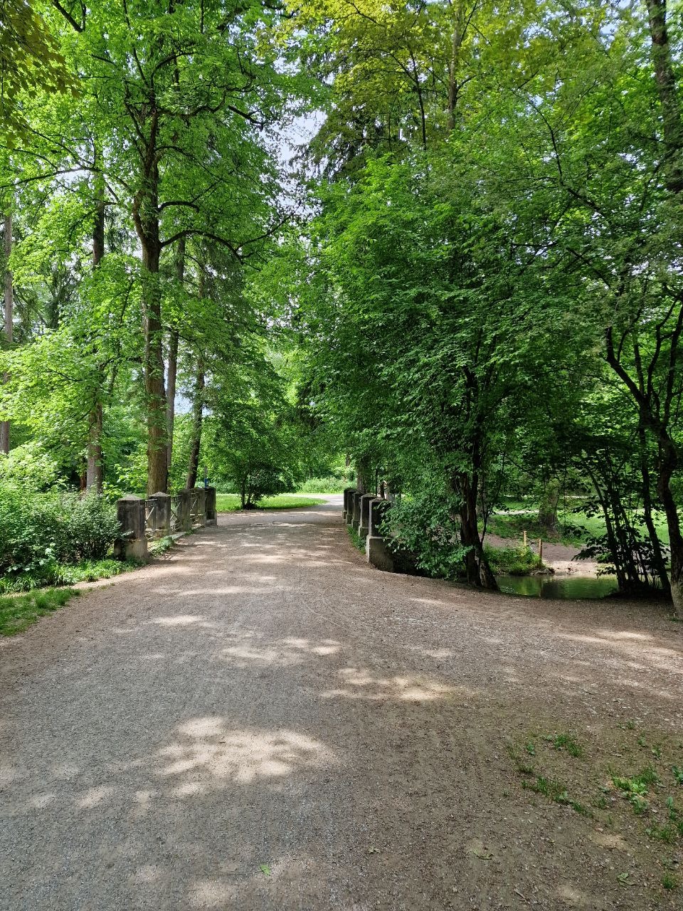
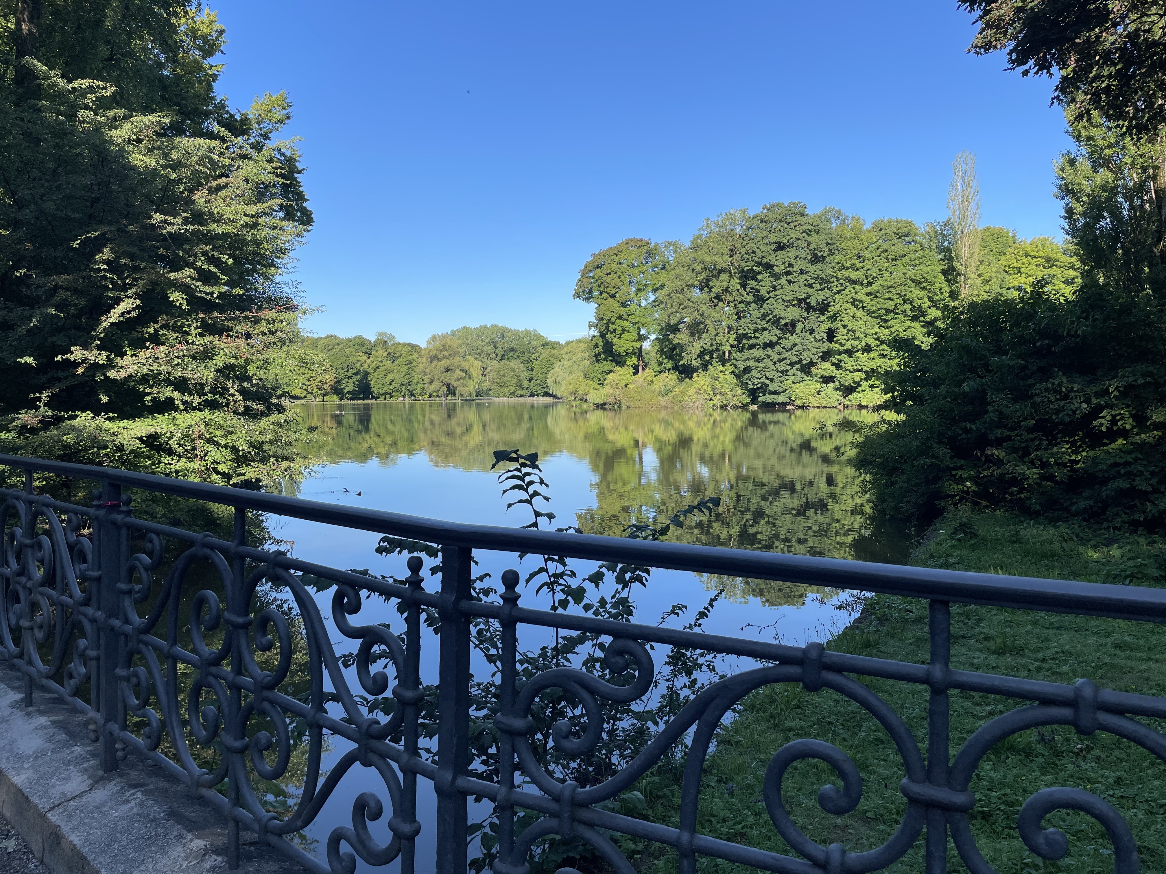
The tour begins at Bayerischer Rundfunk in Freimann and follows the parks along the Isar. The turnaround point is the Grünwald Isar Bridge. The return route on the west side of the Isar also passes through parks, but also through the city center (Marienplatz) and then back through the English Garden to the starting point of the loop. The well-known Isartrails were not traversed on this loop. (The route was recorded with the Android app 'GEO-Tracker' and imported as a GPX file)
- -:--
- Duration
- 42.3 km
- Distance
- 164 m
- Ascent
- 164 m
- Descent
- ---
- Avg. speed
- ---
- Max. altitude

Continue with Bikemap
Use, edit, or download this cycling route
You would like to ride München (City-Parktour 1) or customize it for your own trip? Here is what you can do with this Bikemap route:
Free features
- Save this route as favorite or in collections
- Copy & plan your own version of this route
- Sync your route with Garmin or Wahoo
Premium features
Free trial for 3 days, or one-time payment. More about Bikemap Premium.
- Navigate this route on iOS & Android
- Export a GPX / KML file of this route
- Create your custom printout (try it for free)
- Download this route for offline navigation
Discover more Premium features.
Get Bikemap PremiumFrom our community
Other popular routes starting in Unterföhring
 Von Johanneskirchen nach Moosach
- Distance
- 11.6 km
- Ascent
- 29 m
- Descent
- 38 m
- Location
- Unterföhring, Bavaria, Germany
 Ingolstädter Straße, München nach Infanteriestraße 15, München
- Distance
- 6.4 km
- Ascent
- 27 m
- Descent
- 14 m
- Location
- Unterföhring, Bavaria, Germany
 Speichersee Runde
- Distance
- 42.8 km
- Ascent
- 45 m
- Descent
- 57 m
- Location
- Unterföhring, Bavaria, Germany
 Unterföhring - Aschheim - Kirchheim - Fischweiher - Ismaning - Garching - Freimann - Unterföhring
- Distance
- 33.8 km
- Ascent
- 35 m
- Descent
- 37 m
- Location
- Unterföhring, Bavaria, Germany
 Zum Apple Workshop durch den Englischen Garten Tag 1
- Distance
- 9.3 km
- Ascent
- 29 m
- Descent
- 26 m
- Location
- Unterföhring, Bavaria, Germany
 Pasing Schule
- Distance
- 13.9 km
- Ascent
- 92 m
- Descent
- 63 m
- Location
- Unterföhring, Bavaria, Germany
 Isarradweg
- Distance
- 19.6 km
- Ascent
- 63 m
- Descent
- 113 m
- Location
- Unterföhring, Bavaria, Germany
 Runde zwischen Erding und Markt Schwaben
- Distance
- 83.4 km
- Ascent
- 233 m
- Descent
- 233 m
- Location
- Unterföhring, Bavaria, Germany
Open it in the app