Kaltbrunn-Horgen-Meilen-Kaltbrunn
A cycling route starting in Kaltbrunn, Canton of St. Gallen, Switzerland.
Overview
About this route
With not too much traffic, this is a nice flat route.
With a wonderful ride on the Horgen-Meilen ferry. (possibly with coffee in Horgen while waiting for the ferry)
- -:--
- Duration
- 81 km
- Distance
- 129 m
- Ascent
- 129 m
- Descent
- ---
- Avg. speed
- ---
- Max. altitude
Route quality
Waytypes & surfaces along the route
Waytypes
Quiet road
14.6 km
(18 %)
Cycleway
6.5 km
(8 %)
Surfaces
Paved
63.2 km
(78 %)
Unpaved
0.8 km
(1 %)
Asphalt
60.8 km
(75 %)
Paved (undefined)
2.4 km
(3 %)
Continue with Bikemap
Use, edit, or download this cycling route
You would like to ride Kaltbrunn-Horgen-Meilen-Kaltbrunn or customize it for your own trip? Here is what you can do with this Bikemap route:
Free features
- Save this route as favorite or in collections
- Copy & plan your own version of this route
- Split it into stages to create a multi-day tour
- Sync your route with Garmin or Wahoo
Premium features
Free trial for 3 days, or one-time payment. More about Bikemap Premium.
- Navigate this route on iOS & Android
- Export a GPX / KML file of this route
- Create your custom printout (try it for free)
- Download this route for offline navigation
Discover more Premium features.
Get Bikemap PremiumFrom our community
Other popular routes starting in Kaltbrunn
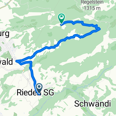
- Kaltbrunn - Rapperswil
- Distance
- 30.5 km
- Ascent
- 167 m
- Descent
- 272 m
- Location
- Kaltbrunn, Canton of St. Gallen, Switzerland
- Kaltbrunn - Pragel Ibergeregg Sattelegg
- Distance
- 119.4 km
- Ascent
- 2,233 m
- Descent
- 2,243 m
- Location
- Kaltbrunn, Canton of St. Gallen, Switzerland
- Kirchhaldenstrasse 18, Kaltbrunn nach Grabackerstrasse 4, Kaltbrunn
- Distance
- 41.2 km
- Ascent
- 716 m
- Descent
- 784 m
- Location
- Kaltbrunn, Canton of St. Gallen, Switzerland
- Rieden-Wilderau-Spitzmoos-Kohlwald
- Distance
- 9.2 km
- Ascent
- 594 m
- Descent
- 292 m
- Location
- Kaltbrunn, Canton of St. Gallen, Switzerland
- Kaltbrunn-Horgen-Meilen-Kaltbrunn
- Distance
- 81 km
- Ascent
- 129 m
- Descent
- 129 m
- Location
- Kaltbrunn, Canton of St. Gallen, Switzerland
- Töfflitour Feldkirch
- Distance
- 171 km
- Ascent
- 1,469 m
- Descent
- 1,469 m
- Location
- Kaltbrunn, Canton of St. Gallen, Switzerland
- Kaltbrunn-Klöntal (36.4km Hinweg)
- Distance
- 36.4 km
- Ascent
- 649 m
- Descent
- 219 m
- Location
- Kaltbrunn, Canton of St. Gallen, Switzerland
- 07. Etappe Kaltbrunn-Landquart
- Distance
- 64.6 km
- Ascent
- 186 m
- Descent
- 105 m
- Location
- Kaltbrunn, Canton of St. Gallen, Switzerland
Open it in the app