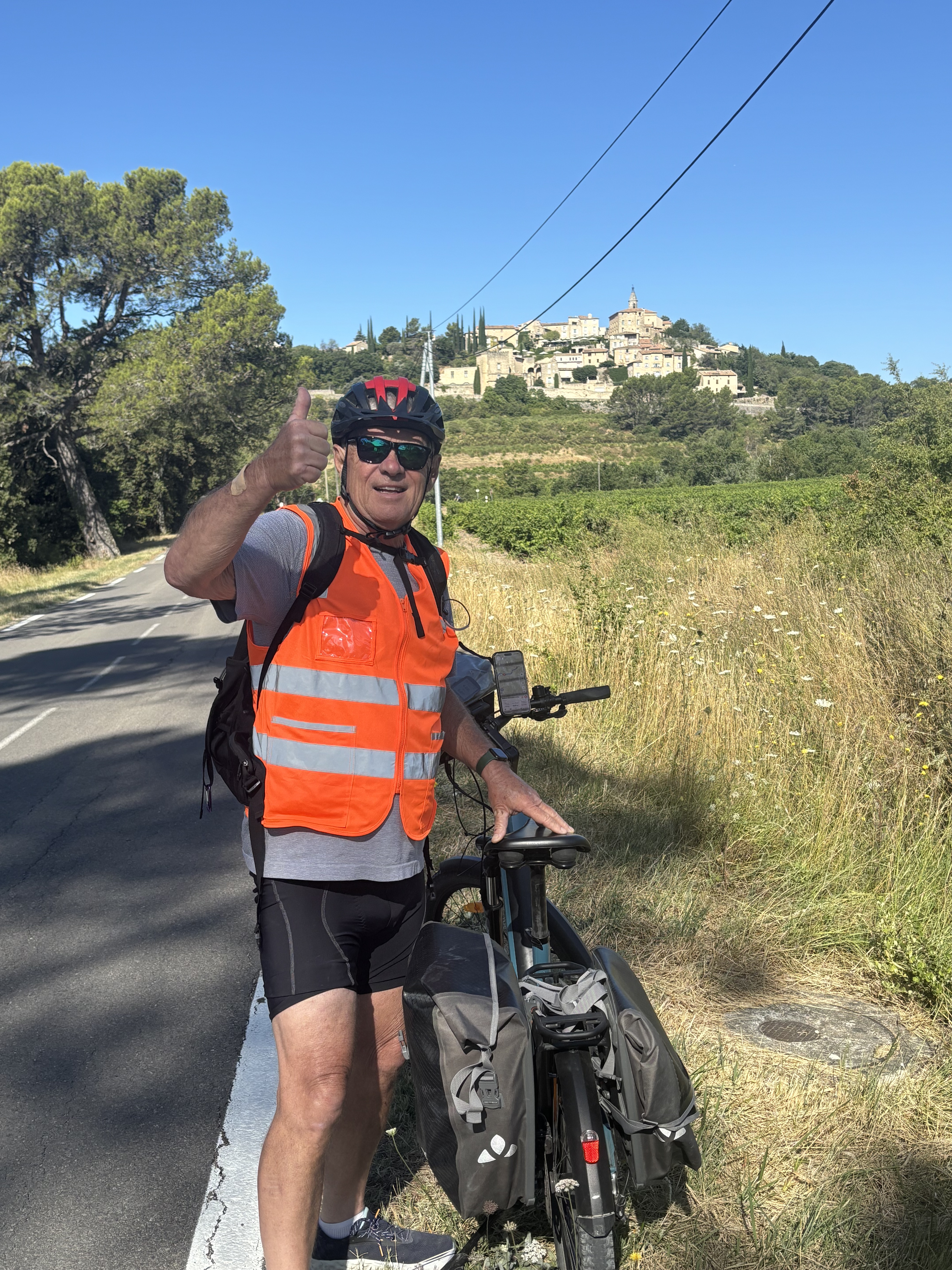
Bedoin - Ventoux 44k 1700 HM
- 22 km
- 1,669 m
- 102 m
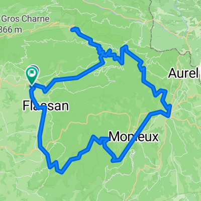
- Bédoin, Provence-Alpes-Côte d'Azur Region, France
A cycling route starting in Bédoin, Provence-Alpes-Côte d'Azur Region, France.
Overview
from Wahoo
created this 9 years ago
Route quality
Paved
10.6 km
(100 %)
Asphalt
10.6 km
(100 %)
Continue with Bikemap
You would like to ride Mt Ventoux or customize it for your own trip? Here is what you can do with this Bikemap route:
Free trial for 3 days, or one-time payment. More about Bikemap Premium.
Discover more Premium features.
Get Bikemap PremiumFrom our community
Open it in the app