Wildcat Canyon o&b + Briones Park circuit
- 60.3 km
- 1,429 m
- 1,458 m
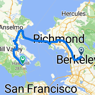
- Berkeley, California, United States
A cycling route starting in Berkeley, California, United States.
Overview
N Oakland -Tunnel Rd - Skyline - Pinehurst - Canyon- Lafayette - Pleasant Hill - Pig Farm - 3 Bears - Wildcat Canyon - Spruce - N Oakland
2010.03.21 - J&S - 4hrs
created this 15 years ago
Route quality
Road
34.2 km
(42 %)
Quiet road
7.3 km
(9 %)
Paved
45.6 km
(56 %)
Asphalt
42.4 km
(52 %)
Paved (undefined)
3.3 km
(4 %)
Undefined
35.8 km
(44 %)
Continue with Bikemap
You would like to ride N Oakland - Tunnel - Pinehurst N-S - Pig Farm - 3 Bears CW - Wildcat - Spruce - N Oakland or customize it for your own trip? Here is what you can do with this Bikemap route:
Free trial for 3 days, or one-time payment. More about Bikemap Premium.
Discover more Premium features.
Get Bikemap PremiumFrom our community
Open it in the app