

local zorzal
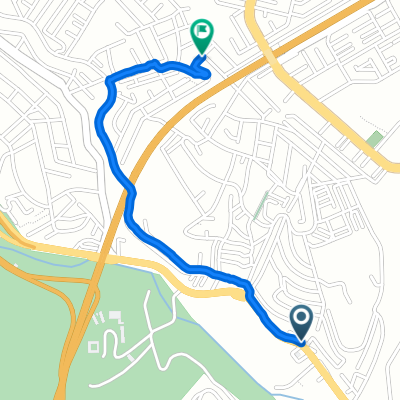
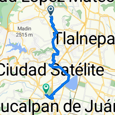
A cycling route starting in Ciudad López Mateos, State of Mexico, Mexico.
Overview
About this route
- 1 h 6 min
- Duration
- 12.2 km
- Distance
- 205 m
- Ascent
- 203 m
- Descent
- 11.1 km/h
- Avg. speed
- ---
- Max. altitude

Route quality
Waytypes & surfaces along the route
Waytypes
Quiet road
4.6 km
(38 %)
Road
2.4 km
(20 %)
Surfaces
Paved
10.6 km
(87 %)
Concrete
5.6 km
(46 %)
Asphalt
5 km
(41 %)
Undefined
1.6 km
(13 %)
Route highlights
Points of interest along the route
Point of interest after 7.4 km
Continue with Bikemap
Use, edit, or download this cycling route
You would like to ride local zorzal or customize it for your own trip? Here is what you can do with this Bikemap route:
Free features
- Save this route as favorite or in collections
- Copy & plan your own version of this route
- Sync your route with Garmin or Wahoo
Premium features
Free trial for 3 days, or one-time payment. More about Bikemap Premium.
- Navigate this route on iOS & Android
- Export a GPX / KML file of this route
- Create your custom printout (try it for free)
- Download this route for offline navigation
Discover more Premium features.
Get Bikemap PremiumFrom our community
Other popular routes starting in Ciudad López Mateos
 Blvd Atizapan Villa Nicolás Romero, Ciudad López Mateos a Calle Nuevo León, Ciudad López Mateos
- Distance
- 2.2 km
- Ascent
- 83 m
- Descent
- 11 m
- Location
- Ciudad López Mateos, State of Mexico, Mexico
 De Avenida de Las Colonias A a Boulevard de la Santa Cruz SN
- Distance
- 13.7 km
- Ascent
- 69 m
- Descent
- 90 m
- Location
- Ciudad López Mateos, State of Mexico, Mexico
 Calle Venustiano Carranza 25, Ciudad López Mateos a Calle Encinos 25, Ciudad López Mateos
- Distance
- 19.8 km
- Ascent
- 248 m
- Descent
- 261 m
- Location
- Ciudad López Mateos, State of Mexico, Mexico
 Arboledas Interlomas 17 de septiembre 12:08
- Distance
- 71.5 km
- Ascent
- 633 m
- Descent
- 633 m
- Location
- Ciudad López Mateos, State of Mexico, Mexico
 De Mega Soriana Blvr. Ignacio Zaragoza a Mega Soriana Blvr. Ignacio Zaragoza
- Distance
- 14.6 km
- Ascent
- 157 m
- Descent
- 143 m
- Location
- Ciudad López Mateos, State of Mexico, Mexico
 De Teotihuacan 5, Ciudad López Mateos a Las Tablas SN, San Mateo Xoloc
- Distance
- 23.3 km
- Ascent
- 333 m
- Descent
- 393 m
- Location
- Ciudad López Mateos, State of Mexico, Mexico
 Arboledas to Interlomas
- Distance
- 50.7 km
- Ascent
- 762 m
- Descent
- 759 m
- Location
- Ciudad López Mateos, State of Mexico, Mexico
 local zorzal
- Distance
- 12.2 km
- Ascent
- 205 m
- Descent
- 203 m
- Location
- Ciudad López Mateos, State of Mexico, Mexico
Open it in the app