
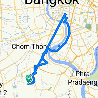
bangkuntien
A cycling route starting in Chom Thong, Bangkok, Thailand.
Overview
About this route
- 3 h 20 min
- Duration
- 47.5 km
- Distance
- 12 m
- Ascent
- 12 m
- Descent
- 14.2 km/h
- Avg. speed
- ---
- Max. altitude

Continue with Bikemap
Use, edit, or download this cycling route
You would like to ride bangkuntien or customize it for your own trip? Here is what you can do with this Bikemap route:
Free features
- Save this route as favorite or in collections
- Copy & plan your own version of this route
- Sync your route with Garmin or Wahoo
Premium features
Free trial for 3 days, or one-time payment. More about Bikemap Premium.
- Navigate this route on iOS & Android
- Export a GPX / KML file of this route
- Create your custom printout (try it for free)
- Download this route for offline navigation
Discover more Premium features.
Get Bikemap PremiumFrom our community
Other popular routes starting in Chom Thong
 Bangkok-Singapur
- Distance
- 1,919.3 km
- Ascent
- 385 m
- Descent
- 385 m
- Location
- Chom Thong, Bangkok, Thailand
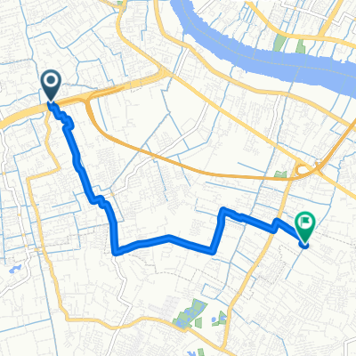
 Long bike tour through
- Distance
- 61.3 km
- Ascent
- 12 m
- Descent
- 12 m
- Location
- Chom Thong, Bangkok, Thailand
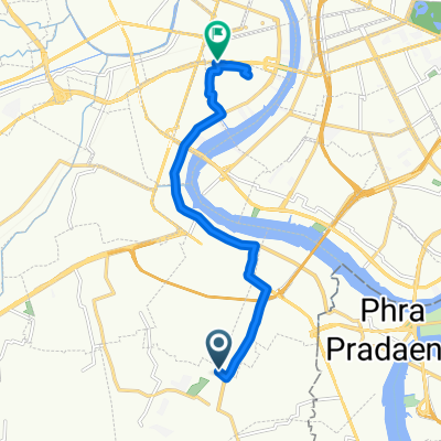
 Bang Ka jao
- Distance
- 32.3 km
- Ascent
- 17 m
- Descent
- 18 m
- Location
- Chom Thong, Bangkok, Thailand
 Long ride through thakam
- Distance
- 45 km
- Ascent
- 13 m
- Descent
- 12 m
- Location
- Chom Thong, Bangkok, Thailand
 371/22 Soi Muban Diaokan 1, Bangkok to Soi 19 Saman Dumri, Amphoe Mueang Chon Buri
- Distance
- 82.4 km
- Ascent
- 359 m
- Descent
- 348 m
- Location
- Chom Thong, Bangkok, Thailand
 bike tour through
- Distance
- 28.3 km
- Ascent
- 40 m
- Descent
- 41 m
- Location
- Chom Thong, Bangkok, Thailand
 Liaison Thonburi
- Distance
- 6.7 km
- Ascent
- 22 m
- Descent
- 24 m
- Location
- Chom Thong, Bangkok, Thailand
 146 Soi Pracha Uthit 28, Bangkok to Thanon Krung Thon Buri, Bangkok
- Distance
- 12 km
- Ascent
- 0 m
- Descent
- 0 m
- Location
- Chom Thong, Bangkok, Thailand
Open it in the app