

Neukirchen b. h. Blut - Schrobenhausen
A cycling route starting in Neukirchen, Bavaria, Germany.
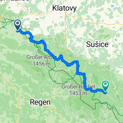
Overview
About this route
7th stage from Bohlingen to the Bavarian Forest
We head back towards Lake Constance. From Neukirchen beim Heiligen Blut to Drachensee and onward to Furth im Wald. Along the Chamb river via Arnschwang and Kothmaißling to Cham. Now along the Regen river, partly on the Regenradweg cycle path through Roding, Nittenau, Regenstauf and Zeitlarn to Regensburg. From Regensburg via Bad Abbach on the Danube, Abensberg, Vohburg an der Donau to Geisenfeld. For the rest of the route to Schrobenhausen, there are certainly better alternatives than the B 300. Due to the kilometers already ridden and the advanced time, we took the federal road.
- -:--
- Duration
- 222.9 km
- Distance
- 382 m
- Ascent
- 469 m
- Descent
- ---
- Avg. speed
- ---
- Max. altitude

Route quality
Waytypes & surfaces along the route
Waytypes
Quiet road
69.1 km
(31 %)
Road
42.4 km
(19 %)
Surfaces
Paved
149.4 km
(67 %)
Unpaved
11.1 km
(5 %)
Asphalt
138.2 km
(62 %)
Paved (undefined)
11.1 km
(5 %)
Continue with Bikemap
Use, edit, or download this cycling route
You would like to ride Neukirchen b. h. Blut - Schrobenhausen or customize it for your own trip? Here is what you can do with this Bikemap route:
Free features
- Save this route as favorite or in collections
- Copy & plan your own version of this route
- Split it into stages to create a multi-day tour
- Sync your route with Garmin or Wahoo
Premium features
Free trial for 3 days, or one-time payment. More about Bikemap Premium.
- Navigate this route on iOS & Android
- Export a GPX / KML file of this route
- Create your custom printout (try it for free)
- Download this route for offline navigation
Discover more Premium features.
Get Bikemap PremiumFrom our community
Other popular routes starting in Neukirchen
 Hinterbuchberger Straße, Eschlkam nach Kvilda, Kvilda
- Distance
- 82.2 km
- Ascent
- 2,201 m
- Descent
- 1,598 m
- Location
- Neukirchen, Bavaria, Germany
 Neukirchen Hotel Donna W Seilbahn
- Distance
- 11.9 km
- Ascent
- 645 m
- Descent
- 478 m
- Location
- Neukirchen, Bavaria, Germany
 Waldschlößlstraße 12, Neukirchen beim Heiligen Blut nach Ösbühl 1, Furth im Wald
- Distance
- 18.9 km
- Ascent
- 122 m
- Descent
- 358 m
- Location
- Neukirchen, Bavaria, Germany
 20160518_092432.gpx
- Distance
- 38.7 km
- Ascent
- 690 m
- Descent
- 693 m
- Location
- Neukirchen, Bavaria, Germany
 Bayerwald Tag 4: Hohenbogen und Kaitersberg
- Distance
- 63.4 km
- Ascent
- 1,418 m
- Descent
- 1,418 m
- Location
- Neukirchen, Bavaria, Germany
 GT2-6 Neukirchen-Waidhaus
- Distance
- 97.4 km
- Ascent
- 1,751 m
- Descent
- 1,650 m
- Location
- Neukirchen, Bavaria, Germany
 Hoher-Bogen-Weg 1, Neukirchen beim Heiligen Blut nach Meisenweg 3–7, Cham
- Distance
- 30.7 km
- Ascent
- 143 m
- Descent
- 738 m
- Location
- Neukirchen, Bavaria, Germany
 Nk02 Wander Freibachweg)
- Distance
- 7.7 km
- Ascent
- 610 m
- Descent
- 610 m
- Location
- Neukirchen, Bavaria, Germany
Open it in the app