

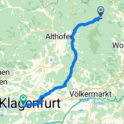
Stoanahütte
A cycling route starting in Reichenfels, Carinthia, Austria.
Overview
About this route
- -:--
- Duration
- 38.4 km
- Distance
- 1,430 m
- Ascent
- 1,430 m
- Descent
- ---
- Avg. speed
- ---
- Max. altitude

Route quality
Waytypes & surfaces along the route
Waytypes
Quiet road
22.2 km
(58 %)
Track
9.2 km
(24 %)
Surfaces
Paved
4.7 km
(12 %)
Unpaved
4.7 km
(12 %)
Asphalt
4.7 km
(12 %)
Gravel
3.7 km
(10 %)
Route highlights
Points of interest along the route
Accommodation after 19.1 km
Stoanahütte
Continue with Bikemap
Use, edit, or download this cycling route
You would like to ride Stoanahütte or customize it for your own trip? Here is what you can do with this Bikemap route:
Free features
- Save this route as favorite or in collections
- Copy & plan your own version of this route
- Sync your route with Garmin or Wahoo
Premium features
Free trial for 3 days, or one-time payment. More about Bikemap Premium.
- Navigate this route on iOS & Android
- Export a GPX / KML file of this route
- Create your custom printout (try it for free)
- Download this route for offline navigation
Discover more Premium features.
Get Bikemap PremiumFrom our community
Other popular routes starting in Reichenfels
 Klippitztörl-Klagenfurt
- Distance
- 65.1 km
- Ascent
- 233 m
- Descent
- 1,307 m
- Location
- Reichenfels, Carinthia, Austria
 Reichenfels - Lavamünd
- Distance
- 55.9 km
- Ascent
- 398 m
- Descent
- 853 m
- Location
- Reichenfels, Carinthia, Austria
 Lavantalradweg-Drauradweg-Klopein
- Distance
- 101.2 km
- Ascent
- 928 m
- Descent
- 1,266 m
- Location
- Reichenfels, Carinthia, Austria
 Hauptstraße 10, Reichenfels do Kärntner Straße 6, Sankt Michael in Obersteiermark
- Distance
- 55 km
- Ascent
- 2,703 m
- Descent
- 2,911 m
- Location
- Reichenfels, Carinthia, Austria
 St. Peter nach Leibnitz
- Distance
- 99 km
- Ascent
- 919 m
- Descent
- 1,467 m
- Location
- Reichenfels, Carinthia, Austria
 RTB8 exchanged
- Distance
- 34.5 km
- Ascent
- 1,133 m
- Descent
- 1,133 m
- Location
- Reichenfels, Carinthia, Austria
 Lavantradweg R10
- Distance
- 57.8 km
- Ascent
- 229 m
- Descent
- 744 m
- Location
- Reichenfels, Carinthia, Austria
 Reichenfels - Sommerau - Feldalmhütte - St.Anna - Reichenfels
- Distance
- 43.7 km
- Ascent
- 1,310 m
- Descent
- 1,309 m
- Location
- Reichenfels, Carinthia, Austria
Open it in the app