

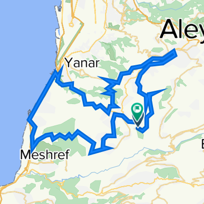
Ain zhalta
A cycling route starting in Beït ed Dîne, Mohafazat Mont-Liban, Lebanon.
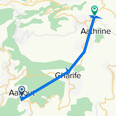
Overview
About this route
- -:--
- Duration
- 38.7 km
- Distance
- 1,316 m
- Ascent
- 288 m
- Descent
- ---
- Avg. speed
- ---
- Max. altitude

Continue with Bikemap
Use, edit, or download this cycling route
You would like to ride Ain zhalta or customize it for your own trip? Here is what you can do with this Bikemap route:
Free features
- Save this route as favorite or in collections
- Copy & plan your own version of this route
- Sync your route with Garmin or Wahoo
Premium features
Free trial for 3 days, or one-time payment. More about Bikemap Premium.
- Navigate this route on iOS & Android
- Export a GPX / KML file of this route
- Create your custom printout (try it for free)
- Download this route for offline navigation
Discover more Premium features.
Get Bikemap PremiumFrom our community
Other popular routes starting in Beït ed Dîne
 Rimhala
- Distance
- 66 km
- Ascent
- 1,963 m
- Descent
- 1,767 m
- Location
- Beït ed Dîne, Mohafazat Mont-Liban, Lebanon
 Ain zhalta
- Distance
- 38.7 km
- Ascent
- 1,316 m
- Descent
- 288 m
- Location
- Beït ed Dîne, Mohafazat Mont-Liban, Lebanon
 رمحالا to رمحالا
- Distance
- 122.3 km
- Ascent
- 2,147 m
- Descent
- 2,144 m
- Location
- Beït ed Dîne, Mohafazat Mont-Liban, Lebanon
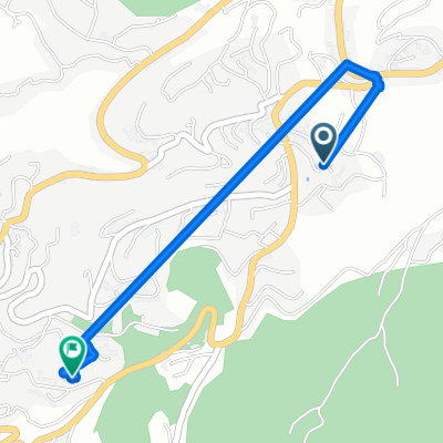 Slow ride
- Distance
- 3.3 km
- Ascent
- 35 m
- Descent
- 222 m
- Location
- Beït ed Dîne, Mohafazat Mont-Liban, Lebanon
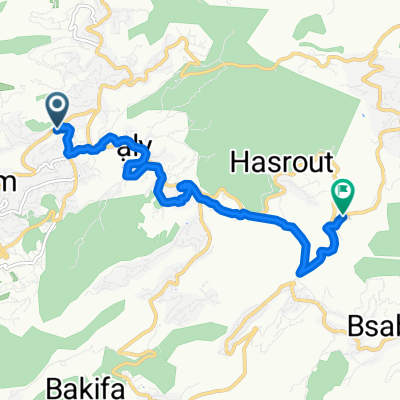 hasroutt
- Distance
- 9.3 km
- Ascent
- 283 m
- Descent
- 252 m
- Location
- Beït ed Dîne, Mohafazat Mont-Liban, Lebanon
 Maaser Beit Al Dine to Maaser Beit Al Dine
- Distance
- 19.2 km
- Ascent
- 362 m
- Descent
- 371 m
- Location
- Beït ed Dîne, Mohafazat Mont-Liban, Lebanon
 .......
- Distance
- 10.9 km
- Ascent
- 468 m
- Descent
- 401 m
- Location
- Beït ed Dîne, Mohafazat Mont-Liban, Lebanon
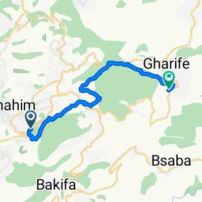
 عانوت to Baaqline
- Distance
- 9 km
- Ascent
- 119 m
- Descent
- 33 m
- Location
- Beït ed Dîne, Mohafazat Mont-Liban, Lebanon
Open it in the app