

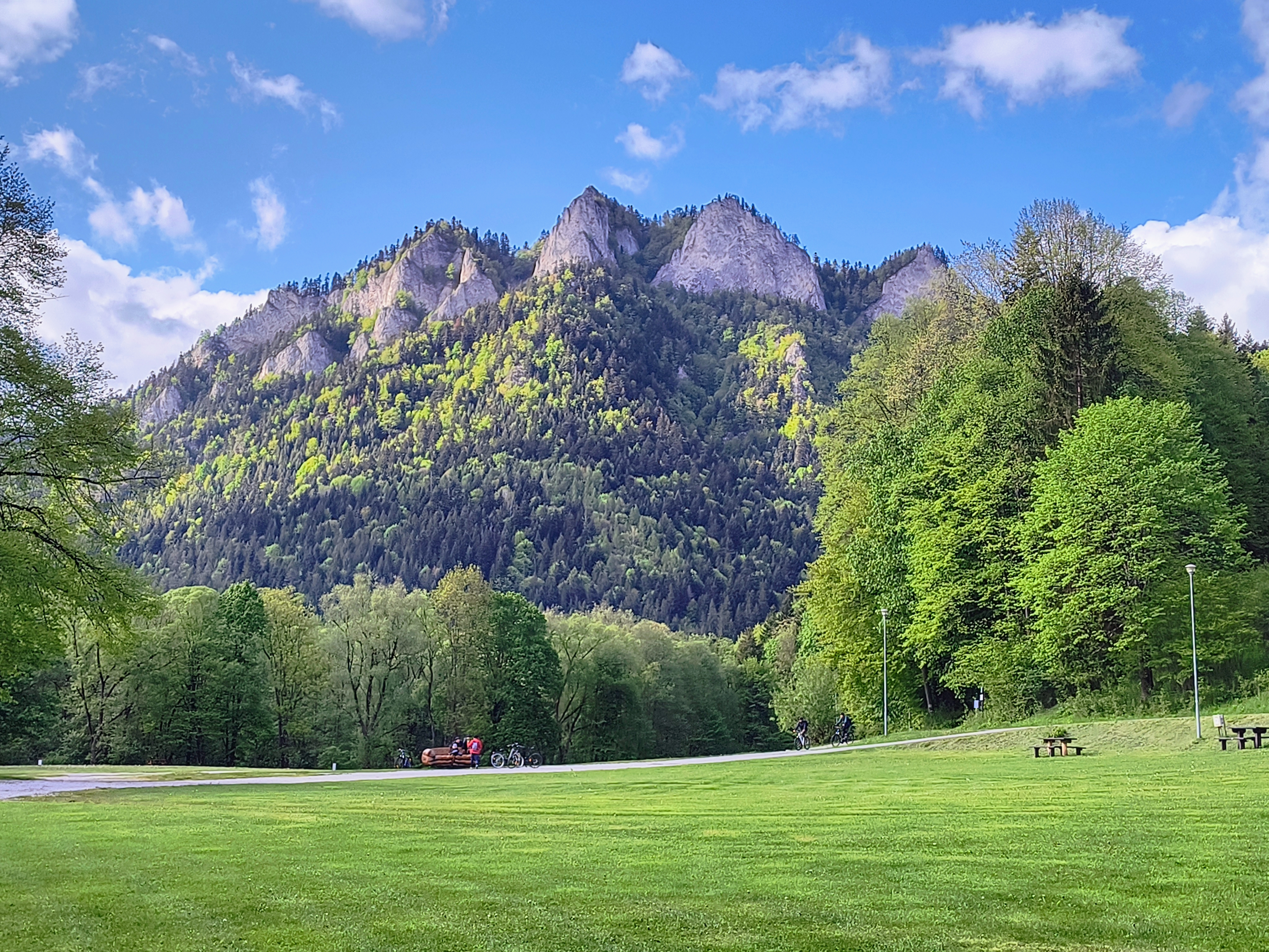
Szczawnica
A cycling route starting in Szczawnica, Lesser Poland Voivodeship, Poland.
Overview
About this route
- -:--
- Duration
- 41.6 km
- Distance
- 878 m
- Ascent
- 877 m
- Descent
- ---
- Avg. speed
- ---
- Max. altitude

Route highlights
Points of interest along the route
Point of interest after 13.9 km
Schronisko Pod Darbuszką
Continue with Bikemap
Use, edit, or download this cycling route
You would like to ride Szczawnica or customize it for your own trip? Here is what you can do with this Bikemap route:
Free features
- Save this route as favorite or in collections
- Copy & plan your own version of this route
- Sync your route with Garmin or Wahoo
Premium features
Free trial for 3 days, or one-time payment. More about Bikemap Premium.
- Navigate this route on iOS & Android
- Export a GPX / KML file of this route
- Create your custom printout (try it for free)
- Download this route for offline navigation
Discover more Premium features.
Get Bikemap PremiumFrom our community
Other popular routes starting in Szczawnica
 Szczawnica
- Distance
- 32.1 km
- Ascent
- 792 m
- Descent
- 792 m
- Location
- Szczawnica, Lesser Poland Voivodeship, Poland
 Velo Dunajec, Szczawnica - Sromowce Niżne
- Distance
- 13 km
- Ascent
- 558 m
- Descent
- 541 m
- Location
- Szczawnica, Lesser Poland Voivodeship, Poland
 Widokowy Szczawnica - Czerwony Klasztor - Schronisko Trzy Korony - Velky Lipnik - Leśnica - Szczawnica
- Distance
- 35.3 km
- Ascent
- 732 m
- Descent
- 733 m
- Location
- Szczawnica, Lesser Poland Voivodeship, Poland
 Route in Gmina Szczawnica
- Distance
- 12.4 km
- Ascent
- 512 m
- Descent
- 512 m
- Location
- Szczawnica, Lesser Poland Voivodeship, Poland
 Szczawnica_Majówka_Turystycznie
- Distance
- 51 km
- Ascent
- 437 m
- Descent
- 447 m
- Location
- Szczawnica, Lesser Poland Voivodeship, Poland
 Jaworki; Biała Woda + Czarna Woda
- Distance
- 19.4 km
- Ascent
- 378 m
- Descent
- 378 m
- Location
- Szczawnica, Lesser Poland Voivodeship, Poland
 Szczawnica
- Distance
- 41.6 km
- Ascent
- 878 m
- Descent
- 877 m
- Location
- Szczawnica, Lesser Poland Voivodeship, Poland
 Pienińska 1C, Szczawnica do Osiedle Zamek 11, Niedzica
- Distance
- 23.7 km
- Ascent
- 3,733 m
- Descent
- 3,678 m
- Location
- Szczawnica, Lesser Poland Voivodeship, Poland
Open it in the app