
Totana 2016 (desde la guia)
A cycling route starting in Fuente-Álamo de Murcia, Murcia, Spain.
Overview
About this route
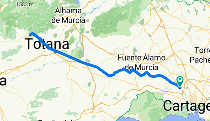
Departure from La Guía, from the esplanade of the hermitage, towards Fuente Álamo diverting to the left by paths until reaching the VÍA VERDE, then we will continue straight, and at the only fork there is, we will take the right one until we reach Totana. Once in the village, we will cross it northwest towards the hill of La Santa. After eating in Totana, we will return by the same path.
- -:--
- Duration
- 112.2 km
- Distance
- 667 m
- Ascent
- 667 m
- Descent
- ---
- Avg. speed
- ---
- Max. altitude

Continue with Bikemap
Use, edit, or download this cycling route
You would like to ride Totana 2016 (desde la guia) or customize it for your own trip? Here is what you can do with this Bikemap route:
Free features
- Save this route as favorite or in collections
- Copy & plan your own version of this route
- Split it into stages to create a multi-day tour
- Sync your route with Garmin or Wahoo
Premium features
Free trial for 3 days, or one-time payment. More about Bikemap Premium.
- Navigate this route on iOS & Android
- Export a GPX / KML file of this route
- Create your custom printout (try it for free)
- Download this route for offline navigation
Discover more Premium features.
Get Bikemap PremiumFrom our community
Other popular routes starting in Fuente-Álamo de Murcia
 fuente alamo
- Distance
- 54.1 km
- Ascent
- 869 m
- Descent
- 868 m
- Location
- Fuente-Álamo de Murcia, Murcia, Spain
 Totana 2016 (desde la guia)
- Distance
- 112.2 km
- Ascent
- 667 m
- Descent
- 667 m
- Location
- Fuente-Álamo de Murcia, Murcia, Spain
 cuartel de boletes
- Distance
- 25.4 km
- Ascent
- 373 m
- Descent
- 548 m
- Location
- Fuente-Álamo de Murcia, Murcia, Spain
 Brevet Randonneur 400K Cartagena 2014
- Distance
- 389.6 km
- Ascent
- 2,510 m
- Descent
- 2,511 m
- Location
- Fuente-Álamo de Murcia, Murcia, Spain
 Fuente Álamo - Cartagena
- Distance
- 28.5 km
- Ascent
- 83 m
- Descent
- 189 m
- Location
- Fuente-Álamo de Murcia, Murcia, Spain
 Brevet Randonneur 600K Cartagena 2014
- Distance
- 587.9 km
- Ascent
- 2,460 m
- Descent
- 2,459 m
- Location
- Fuente-Álamo de Murcia, Murcia, Spain
 Brevet Randonneur 1000K Cartagena 2014
- Distance
- 993.1 km
- Ascent
- 2,573 m
- Descent
- 2,575 m
- Location
- Fuente-Álamo de Murcia, Murcia, Spain
 Valladolises- La Murta-Corvera-balsapintada-fuentealamo-valladolises
- Distance
- 39.2 km
- Ascent
- 233 m
- Descent
- 230 m
- Location
- Fuente-Álamo de Murcia, Murcia, Spain
Open it in the app