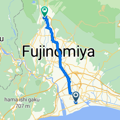
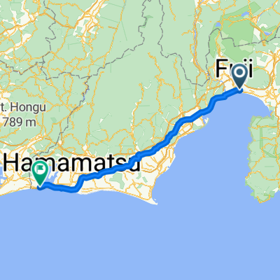
fuji ibaia kakegawa
A cycling route starting in Fuji, Shizuoka, Japan.
Overview
About this route
- -:--
- Duration
- 96.2 km
- Distance
- 378 m
- Ascent
- 371 m
- Descent
- ---
- Avg. speed
- ---
- Max. altitude
Continue with Bikemap
Use, edit, or download this cycling route
You would like to ride fuji ibaia kakegawa or customize it for your own trip? Here is what you can do with this Bikemap route:
Free features
- Save this route as favorite or in collections
- Copy & plan your own version of this route
- Split it into stages to create a multi-day tour
- Sync your route with Garmin or Wahoo
Premium features
Free trial for 3 days, or one-time payment. More about Bikemap Premium.
- Navigate this route on iOS & Android
- Export a GPX / KML file of this route
- Create your custom printout (try it for free)
- Download this route for offline navigation
Discover more Premium features.
Get Bikemap PremiumFrom our community
Other popular routes starting in Fuji
- Day 4 Fuji to Yoshida
- Distance
- 65.1 km
- Ascent
- 198 m
- Descent
- 165 m
- Location
- Fuji, Shizuoka, Japan
- 8-9, Heigakihoncho, Fuji to 1338-41, Miho, Shimizu, Shizuoka
- Distance
- 32.9 km
- Ascent
- 120 m
- Descent
- 123 m
- Location
- Fuji, Shizuoka, Japan
- 富士オーシャンビューロード
- Distance
- 30.7 km
- Ascent
- 0 m
- Descent
- 0 m
- Location
- Fuji, Shizuoka, Japan
- 富士リバービューロード
- Distance
- 43.3 km
- Ascent
- 0 m
- Descent
- 0 m
- Location
- Fuji, Shizuoka, Japan
- fuji ibaia kakegawa
- Distance
- 96.2 km
- Ascent
- 378 m
- Descent
- 371 m
- Location
- Fuji, Shizuoka, Japan
- Length of Japan Tokaido Fuji river-Kakegawa city
- Distance
- 96.2 km
- Ascent
- 367 m
- Descent
- 361 m
- Location
- Fuji, Shizuoka, Japan
- 0 to 2400 富士山ライジングロード
- Distance
- 108.7 km
- Ascent
- 0 m
- Descent
- 0 m
- Location
- Fuji, Shizuoka, Japan
- Kakegawa City- Fuji River
- Distance
- 108 km
- Ascent
- 492 m
- Descent
- 483 m
- Location
- Fuji, Shizuoka, Japan
Open it in the app