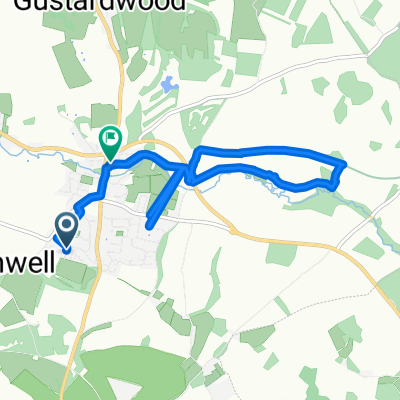
MTB-Stevenage ride to the West
- 57 km
- 494 m
- 495 m
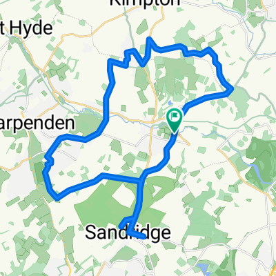
- Wheathampstead, England, United Kingdom
A cycling route starting in Wheathampstead, England, United Kingdom.
Overview
created this 9 years ago
Route quality
Cycleway
16.8 km
(40 %)
Quiet road
6.3 km
(15 %)
Paved
18.5 km
(44 %)
Unpaved
10.1 km
(24 %)
Asphalt
18.5 km
(44 %)
Ground
5.5 km
(13 %)
Continue with Bikemap
You would like to ride St Albans North loop-40km or customize it for your own trip? Here is what you can do with this Bikemap route:
Free trial for 3 days, or one-time payment. More about Bikemap Premium.
Discover more Premium features.
Get Bikemap PremiumFrom our community
Open it in the app