
Chevreuse - Tom
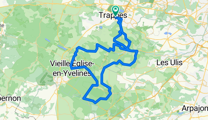
A cycling route starting in Trappes, Île-de-France Region, France.
Overview
About this route
- -:--
- Duration
- 85.4 km
- Distance
- 471 m
- Ascent
- 471 m
- Descent
- ---
- Avg. speed
- ---
- Max. altitude

Route quality
Waytypes & surfaces along the route
Waytypes
Road
33 km
(39 %)
Busy road
28.7 km
(34 %)
Surfaces
Paved
27.8 km
(33 %)
Unpaved
1.2 km
(1 %)
Asphalt
27.7 km
(32 %)
Unpaved (undefined)
1 km
(1 %)
Continue with Bikemap
Use, edit, or download this cycling route
You would like to ride Chevreuse - Tom or customize it for your own trip? Here is what you can do with this Bikemap route:
Free features
- Save this route as favorite or in collections
- Copy & plan your own version of this route
- Split it into stages to create a multi-day tour
- Sync your route with Garmin or Wahoo
Premium features
Free trial for 3 days, or one-time payment. More about Bikemap Premium.
- Navigate this route on iOS & Android
- Export a GPX / KML file of this route
- Create your custom printout (try it for free)
- Download this route for offline navigation
Discover more Premium features.
Get Bikemap PremiumFrom our community
Other popular routes starting in Trappes
 De Rue Jacques Brugnon 6, Montigny-le-Bretonneux à Avenue du Parc 6, Montigny-le-Bretonneux
- Distance
- 75.9 km
- Ascent
- 684 m
- Descent
- 682 m
- Location
- Trappes, Île-de-France Region, France
 Parcourt test.
- Distance
- 71.4 km
- Ascent
- 350 m
- Descent
- 375 m
- Location
- Trappes, Île-de-France Region, France
 De Mail de la Colombe 25, Trappes à Mail de la Colombe 25, Trappes
- Distance
- 10.4 km
- Ascent
- 7 m
- Descent
- 7 m
- Location
- Trappes, Île-de-France Region, France
 De Rue Jacques Brugnon 2, Montigny-le-Bretonneux à Avenue des Ⅳ Pavés du Roy 64, Montigny-le-Bretonneux
- Distance
- 130 km
- Ascent
- 1,315 m
- Descent
- 1,314 m
- Location
- Trappes, Île-de-France Region, France
 De 9 Boulevard Martin Luther King, Trappes à Avenue Pierre Curie, Saint-Cyr-l'École
- Distance
- 680.7 km
- Ascent
- 220 m
- Descent
- 221 m
- Location
- Trappes, Île-de-France Region, France
 mercredicienne 135 long
- Distance
- 77.1 km
- Ascent
- 630 m
- Descent
- 624 m
- Location
- Trappes, Île-de-France Region, France
 VCMB : Parcours 18/10/2009
- Distance
- 83.3 km
- Ascent
- 456 m
- Descent
- 457 m
- Location
- Trappes, Île-de-France Region, France
 100km Velocio entrainement
- Distance
- 103 km
- Ascent
- 413 m
- Descent
- 413 m
- Location
- Trappes, Île-de-France Region, France
Open it in the app