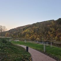

Krasovým údolím a pak Lipovec, okolo stožáru přes Babice domů ...
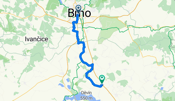
- 83 km
- 651 m
- 652 m
- Brno, South Moravian, Czechia
Moravische wijnroutes
A cycling route starting in Brno, South Moravian, Czechia.
Overview
created this 9 years ago
Part of
8 stages
Route quality
Quiet road
15.9 km
33 %
Road
11.1 km
23 %
Paved
26.6 km
(55 %)
Unpaved
5.8 km
(12 %)
Asphalt
22.2 km
46 %
Gravel
4.3 km
9 %
Route highlights

Start van donkerblauw = de Brno Wine Trail (Brnenska)

Start Licht blauw = Velke Pavlovice Wine Trail (Velke Pavlovice
Continue with Bikemap
You would like to ride MWD2 Brno - Hustopece or customize it for your own trip? Here is what you can do with this Bikemap route:
Free trial for 3 days, or one-time payment. More about Bikemap Premium.
Discover more Premium features.
Get Bikemap PremiumFrom our community
Open it in the app