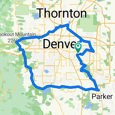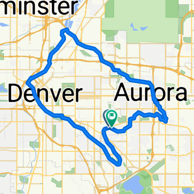
Denver 60K Trail Loop
- 62 km
- 223 m
- 225 m
- Glendale, Colorado, United States
A cycling route starting in Glendale, Colorado, United States.
Overview
Went over to Dan's so we could take our bikes on some trails to meet Dan at Trails before taking the same trails back to Dan's.
created this 9 years ago
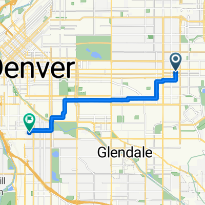
Route quality
Cycleway
41.5 km
(74 %)
Quiet road
6.2 km
(11 %)
Paved
54.4 km
(97 %)
Unpaved
0.6 km
(1 %)
Concrete
35.9 km
(64 %)
Asphalt
10.7 km
(19 %)
Continue with Bikemap
You would like to ride Danver or customize it for your own trip? Here is what you can do with this Bikemap route:
Free trial for 3 days, or one-time payment. More about Bikemap Premium.
Discover more Premium features.
Get Bikemap PremiumFrom our community
Open it in the app