Valdepeñas-El Peral-San Carlos del Valle- Valdepeñas
- 47.7 km
- 167 m
- 167 m
- Valdepeñas, Castille-La Mancha, Spain
A cycling route starting in Valdepeñas, Castille-La Mancha, Spain.
Overview
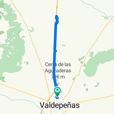
VALDEPEÑAS-SANTA ELENA VIA CASTELLAR-ALDEAQUEMADA AND BACK
created this 9 years ago
Route quality
Road
126.2 km
(81 %)
Quiet road
17.1 km
(11 %)
Paved
23.4 km
(15 %)
Asphalt
23.4 km
(15 %)
Undefined
132.4 km
(85 %)
Continue with Bikemap
You would like to ride VALDEPEÑAS-SANTA ELENA POR CASTELLAR-ALDEAQUEMADA Y VUELTA or customize it for your own trip? Here is what you can do with this Bikemap route:
Free trial for 3 days, or one-time payment. More about Bikemap Premium.
Discover more Premium features.
Get Bikemap PremiumFrom our community
Open it in the app