

Beringer Randenturm 2016
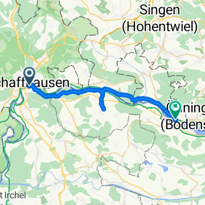
A cycling route starting in Schaffhausen, Canton of Schaffhausen, Switzerland.
Overview
About this route
- -:--
- Duration
- 31.6 km
- Distance
- 427 m
- Ascent
- 445 m
- Descent
- ---
- Avg. speed
- ---
- Max. altitude
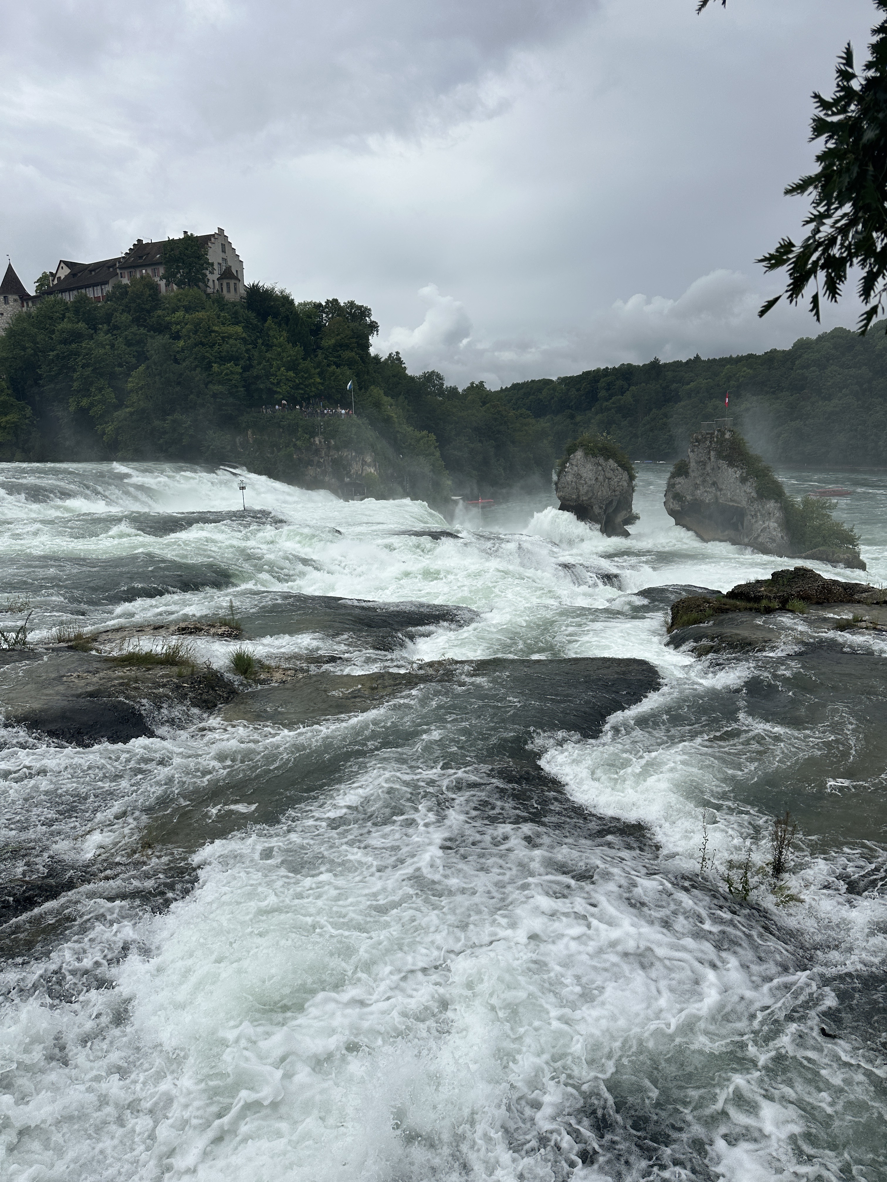
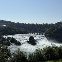
Route photos

Route quality
Waytypes & surfaces along the route
Waytypes
Track
9.2 km
(29 %)
Quiet road
7 km
(22 %)
Surfaces
Paved
18.4 km
(58 %)
Unpaved
8.9 km
(28 %)
Asphalt
17.1 km
(54 %)
Gravel
5.4 km
(17 %)
Route highlights
Points of interest along the route

Point of interest after 14.2 km
Oben nach dem Engeweier

Point of interest after 16.5 km
Fützemerstüli

Point of interest after 17.8 km
Häglilo 666m

Point of interest after 19.7 km
Vom Beringer Randenturm
Continue with Bikemap
Use, edit, or download this cycling route
You would like to ride Beringer Randenturm 2016 or customize it for your own trip? Here is what you can do with this Bikemap route:
Free features
- Save this route as favorite or in collections
- Copy & plan your own version of this route
- Sync your route with Garmin or Wahoo
Premium features
Free trial for 3 days, or one-time payment. More about Bikemap Premium.
- Navigate this route on iOS & Android
- Export a GPX / KML file of this route
- Create your custom printout (try it for free)
- Download this route for offline navigation
Discover more Premium features.
Get Bikemap PremiumFrom our community
Other popular routes starting in Schaffhausen
 Steigstrasse, Schaffhausen nach Bahnhofstraße, Villingen-Schwenningen
- Distance
- 51.3 km
- Ascent
- 897 m
- Descent
- 643 m
- Location
- Schaffhausen, Canton of Schaffhausen, Switzerland
 Bodenseeradtour Tag 4
- Distance
- 61.7 km
- Ascent
- 487 m
- Descent
- 490 m
- Location
- Schaffhausen, Canton of Schaffhausen, Switzerland
 Randenstrasse, Schaffhausen to Viarhenana, Neuhausen am Rheinfall
- Distance
- 3.9 km
- Ascent
- 16 m
- Descent
- 111 m
- Location
- Schaffhausen, Canton of Schaffhausen, Switzerland
 Jägerstrasse 1, Schaffhausen nach Moserstrasse 8, Schaffhausen
- Distance
- 63.8 km
- Ascent
- 926 m
- Descent
- 990 m
- Location
- Schaffhausen, Canton of Schaffhausen, Switzerland
 steckborn huttwielersee Husumer See schaffhausen
- Distance
- 70.9 km
- Ascent
- 567 m
- Descent
- 646 m
- Location
- Schaffhausen, Canton of Schaffhausen, Switzerland
 Schaffhausen - Eschenz
- Distance
- 24.9 km
- Ascent
- 285 m
- Descent
- 278 m
- Location
- Schaffhausen, Canton of Schaffhausen, Switzerland
 Bahnhofstrasse, Schaffhausen to Nohlstrasse, Neuhausen am Rheinfall
- Distance
- 4.5 km
- Ascent
- 83 m
- Descent
- 99 m
- Location
- Schaffhausen, Canton of Schaffhausen, Switzerland
 Wiesenweg nach Heinrich-Ernst-Kromer-Straße
- Distance
- 73 km
- Ascent
- 2,208 m
- Descent
- 1,747 m
- Location
- Schaffhausen, Canton of Schaffhausen, Switzerland
Open it in the app