

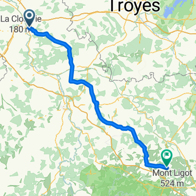
Villeneuve la dondagre
A cycling route starting in Sens, Bourgogne-Franche-Comté, France.
Overview
About this route
Villeneuve-la-Dondagre
Description: Villeneuve-la-Dondagre
A quintessential rural commune, Villeneuve-la-Dondagre is one of the 16 church towers dominating the Chéroy canton at 180 meters altitude. It includes several hamlets scattered around the village such as Petit and Grand Coru, La Chauvellerie, Étang Neuf, La Roserie, Haute Borne...
With 252 residents as of the last census in 2011, the commune has experienced steady growth over the past twenty years.
Covering 14.6 km², the area is mainly engaged in agricultural and artisanal activities.
Some traces of the past remain. Indeed, Villeneuve-la-Dondagre has a quality cultural heritage featuring a 12th-century church (rebuilt in 1769) dedicated to Saint-Loup, and two 19th-century elements: the washhouse, renovated in 2009, and the town hall along with the former school.
To complement, beautiful hiking trails (passing through the Grande Randonnée Pédestre (GRP) trail of the Bocage Gâtinais), horseback riding, or mountain biking allow you to enjoy the pleasantly varied landscape of the village.
- -:--
- Duration
- 38.7 km
- Distance
- 247 m
- Ascent
- 245 m
- Descent
- ---
- Avg. speed
- ---
- Max. altitude
Route quality
Waytypes & surfaces along the route
Waytypes
Road
24 km
(62 %)
Quiet road
4.6 km
(12 %)
Undefined
10.1 km
(26 %)
Surfaces
Paved
12.4 km
(32 %)
Asphalt
12.4 km
(32 %)
Undefined
26.3 km
(68 %)
Continue with Bikemap
Use, edit, or download this cycling route
You would like to ride Villeneuve la dondagre or customize it for your own trip? Here is what you can do with this Bikemap route:
Free features
- Save this route as favorite or in collections
- Copy & plan your own version of this route
- Sync your route with Garmin or Wahoo
Premium features
Free trial for 3 days, or one-time payment. More about Bikemap Premium.
- Navigate this route on iOS & Android
- Export a GPX / KML file of this route
- Create your custom printout (try it for free)
- Download this route for offline navigation
Discover more Premium features.
Get Bikemap PremiumFrom our community
Other popular routes starting in Sens
 Sens —— Fontainebleau
- Distance
- 63.5 km
- Ascent
- 529 m
- Descent
- 522 m
- Location
- Sens, Bourgogne-Franche-Comté, France
 Ostia-Parigi_route
- Distance
- 1,877 km
- Ascent
- 3,546 m
- Descent
- 3,582 m
- Location
- Sens, Bourgogne-Franche-Comté, France
 Autour de Sens , entre Seine et Yonne - 120 km -
- Distance
- 113.7 km
- Ascent
- 329 m
- Descent
- 323 m
- Location
- Sens, Bourgogne-Franche-Comté, France
 1. Sens - Montargis
- Distance
- 54.5 km
- Ascent
- 291 m
- Descent
- 282 m
- Location
- Sens, Bourgogne-Franche-Comté, France
 Sens - Semur-en-Auxois
- Distance
- 135.9 km
- Ascent
- 812 m
- Descent
- 585 m
- Location
- Sens, Bourgogne-Franche-Comté, France
 sens-brienne
- Distance
- 103.7 km
- Ascent
- 299 m
- Descent
- 250 m
- Location
- Sens, Bourgogne-Franche-Comté, France
 7 Tour de France - Sens _ Gien
- Distance
- 96.2 km
- Ascent
- 339 m
- Descent
- 288 m
- Location
- Sens, Bourgogne-Franche-Comté, France
 Paris-Lausanne prologue
- Distance
- 475 km
- Ascent
- 1,884 m
- Descent
- 1,579 m
- Location
- Sens, Bourgogne-Franche-Comté, France
Open it in the app