Grizzly Peak Century Tour North Loop
- 113 km
- 2,577 m
- 2,587 m
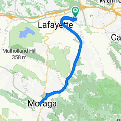
- Lafayette, California, United States
A cycling route starting in Lafayette, California, United States.
Overview
Campolinda High School to Downtown Lafayette to Pleasant Valley Rd. To Reliez Valley Rd. to Alhambra Valley Rd. to Castro Ranch Rd. to San Pablo Dam Rd. to Camino Pablo to Moraga Way to Moraga Rd returning to Campolinda High.
created this 9 years ago
Route quality
Quiet road
4.5 km
(8 %)
Access road
3.4 km
(6 %)
Paved
18.6 km
(33 %)
Unpaved
3.4 km
(6 %)
Asphalt
18 km
(32 %)
Unpaved (undefined)
2.3 km
(4 %)
Continue with Bikemap
You would like to ride Campolinda Route or customize it for your own trip? Here is what you can do with this Bikemap route:
Free trial for 3 days, or one-time payment. More about Bikemap Premium.
Discover more Premium features.
Get Bikemap PremiumFrom our community
Open it in the app