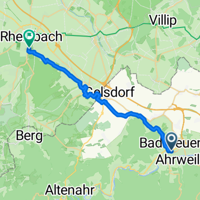
Runde bei Gerlinde und Michel
- 50.2 km
- 346 m
- 482 m
- Bad Neuenahr-Ahrweiler, Rhineland-Palatinate, Germany
Overview
created this 9 years ago
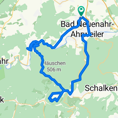
Part of
3 stages
Route quality
Track
40.1 km
(74 %)
Path
7 km
(13 %)
Paved
10.8 km
(20 %)
Unpaved
40.6 km
(75 %)
Gravel
17.3 km
(32 %)
Ground
13.5 km
(25 %)
Continue with Bikemap
You would like to ride Tomburg or customize it for your own trip? Here is what you can do with this Bikemap route:
Free trial for 3 days, or one-time payment. More about Bikemap Premium.
Discover more Premium features.
Get Bikemap PremiumFrom our community
Open it in the app